(Clicking on a picture opens it in a new window)
Filename: 0000_Journey_Map
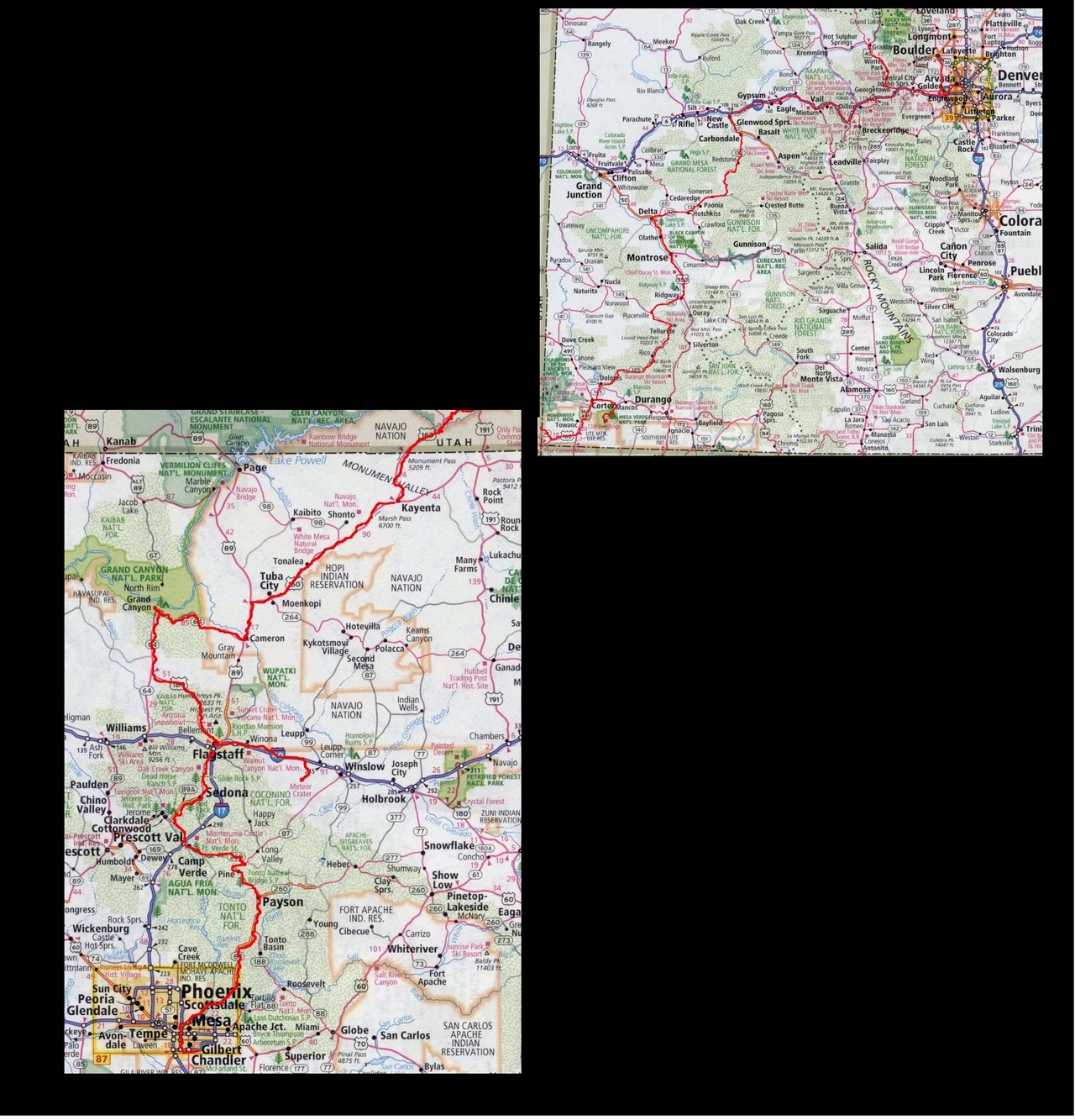
Here is a map of our journey. Follow the squiggly red line to see where we went.
Total journey miles was nearly 1,500 by road plus 4,500 air miles.
Filename: 0010_Denver_Zoo_Flamingoes
Date and Time: 2024:07:18 11:24:44
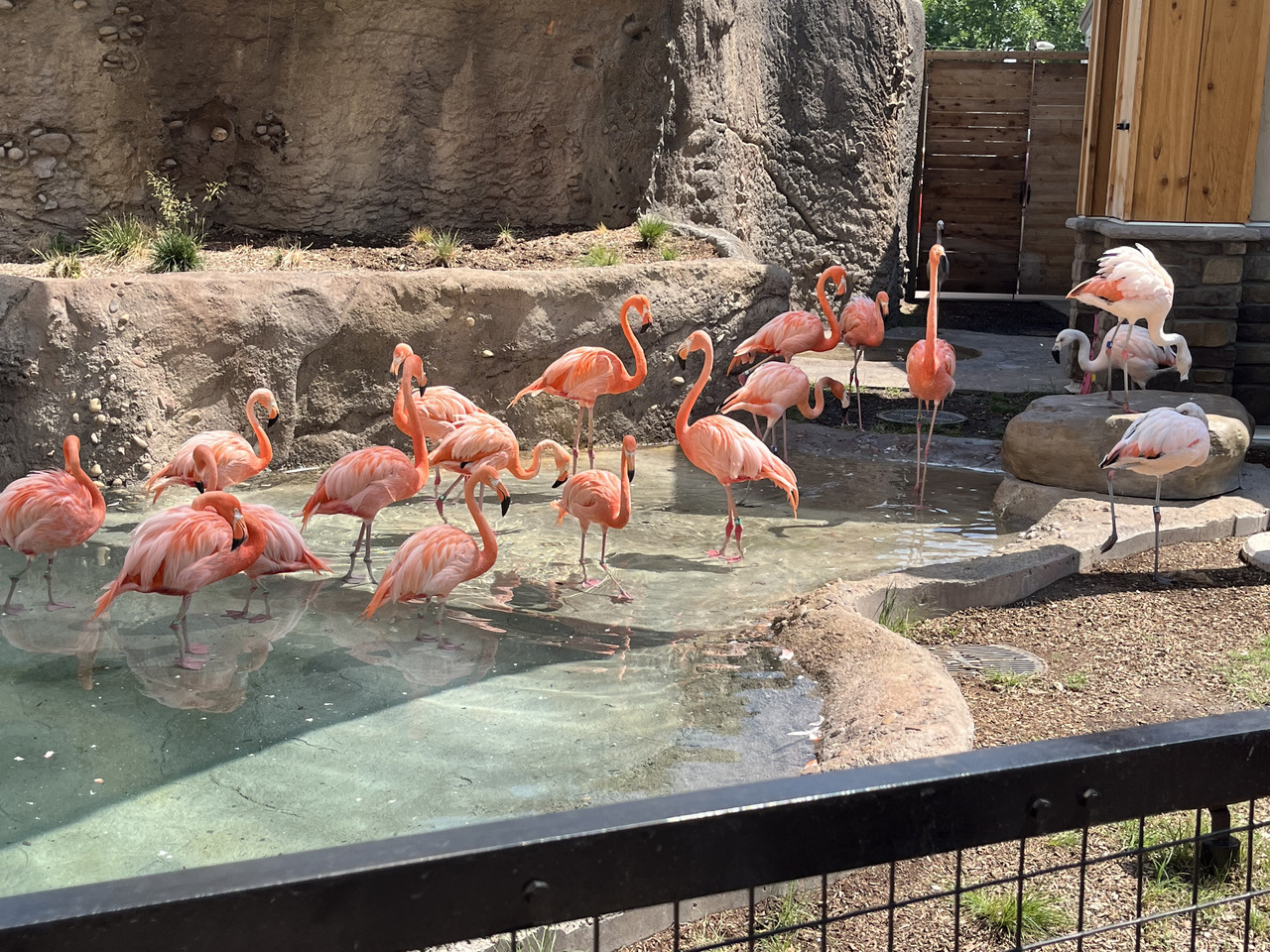
Our first stop was the Denver Zoo.
Flamingoes.... Showing a lovely pink colour.
Filename: 0020_Denver_Zoo_Tiger
Date and Time: 2024:07:18 12:53:43
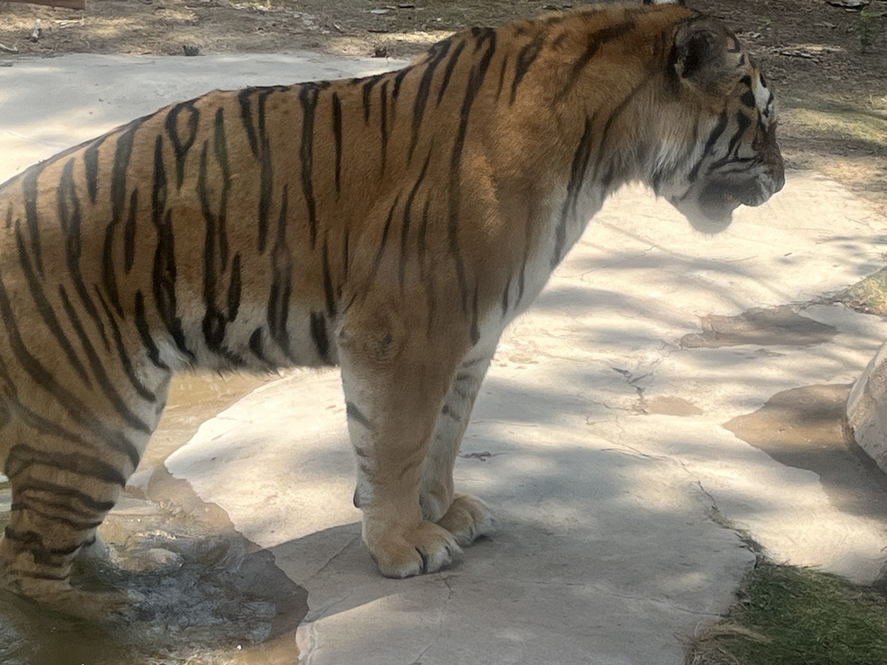
And Tigers too!

Filename: 0025_At_Wings_Over_The_Rockies_Museum
Date and Time: 2024:07:19 10:30:39
Here we are at the Wings over the Rockies Aviation museum in Denver.
HC thought ot would be good to take the grandkids on a moonwalk.
Filename: 0030_I40_To_Granby_A
Date and Time: 2024:07:19 13:44:12
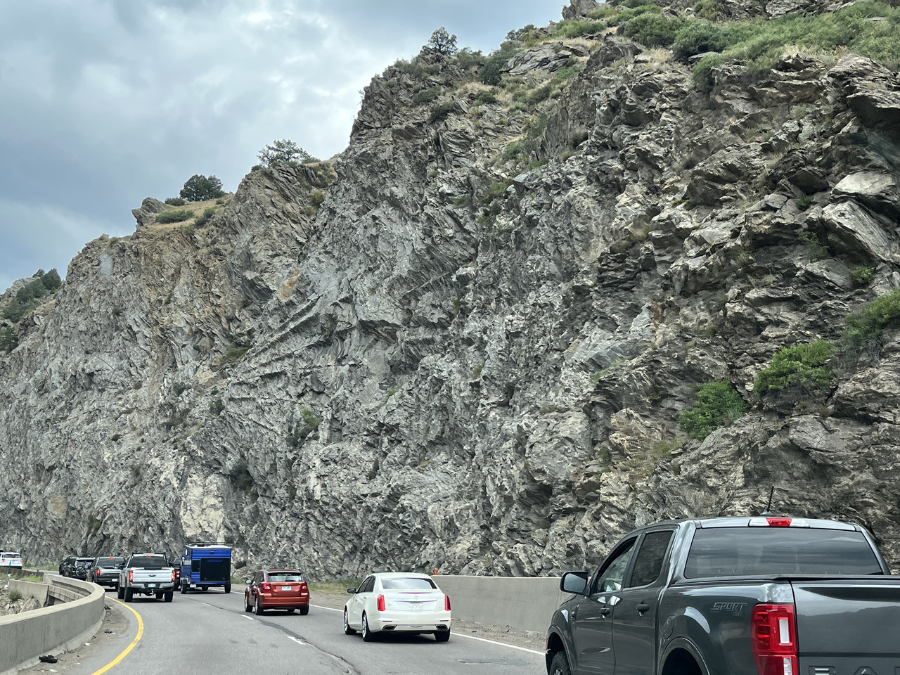
We have left Denver on Interstate I40 heading for Granby.
The road cuts through some nice rock cuttings - well it is the Rocky Mountains...
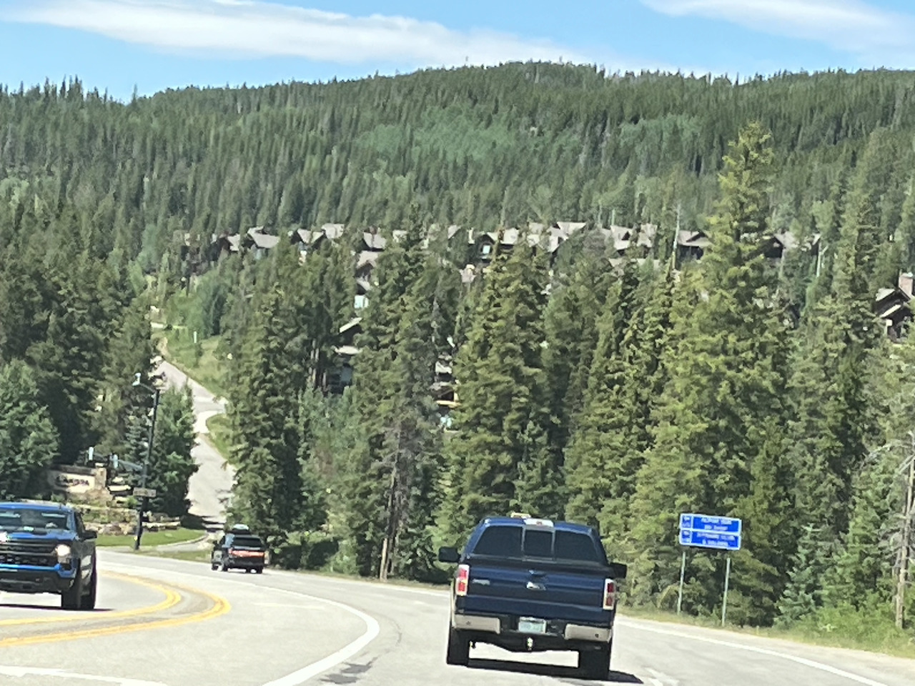
Filename: 0040_I40_To_Granby_B
Date and Time: 2024:07:19 14:44:51
Further along the Interstate there appears to be a Swiss village.
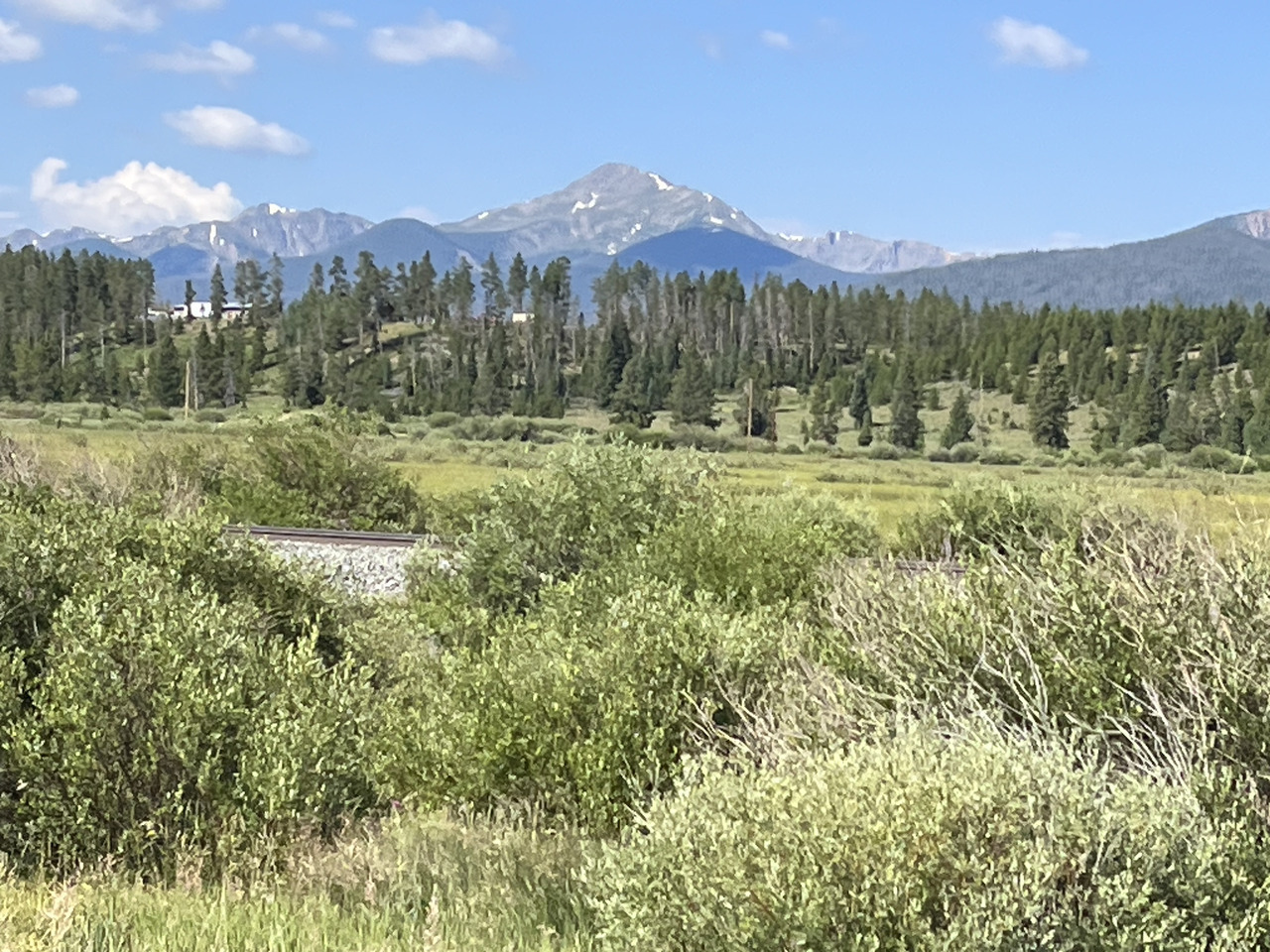
Filename: 0060_En_Route_To_Granby_B
Date and Time: 2024:07:20 09:43:24
After climbing over a mountain, we are now descending towards Granby.
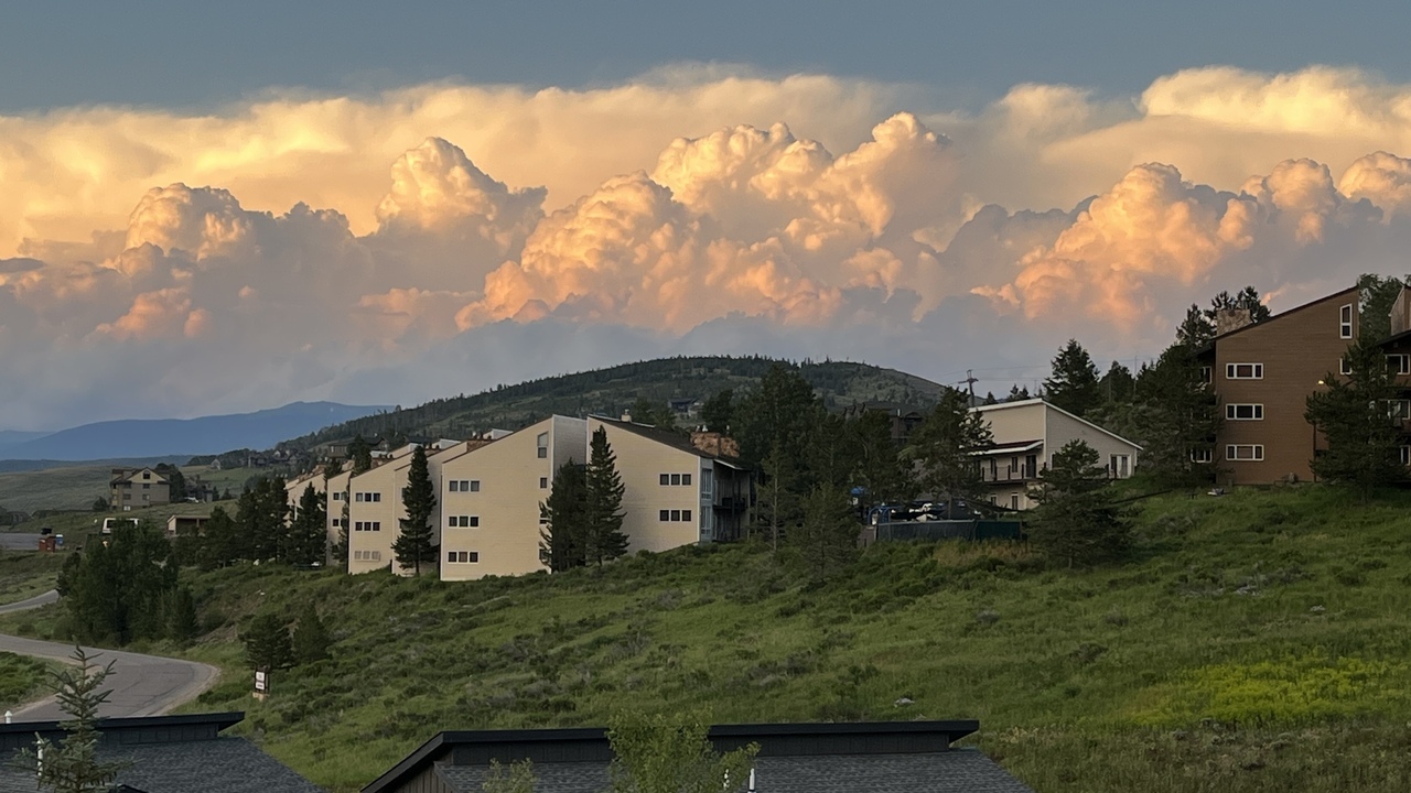
Filename: 0075_Granby_Storm
Date and Time: 2024:07:20 20:13:15
We have settled into our temporary home. This is the view from the window.
Rocky mountains in the distance, a storm brewing. (Which never came our way)

Filename: 0077_Wedding_Family
Date and Time: 2024:07:19 19:18:50
Wedding participants - with the bride to be in the center.
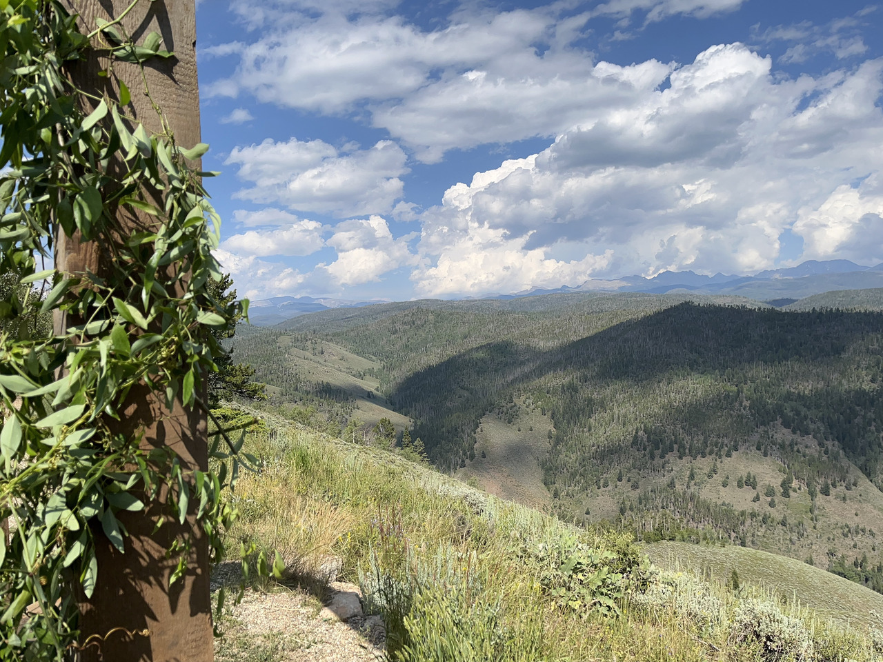
Filename: 0080_Atop_The_Ski_Slope_Granby
Latitude: 40.03819
Longitude: -105.89060
Altitude: 9205 ft
Date and Time: 2024:07:20 15:58:43
Here we are atop the mountain where the wedding ceremony took place. You are looking out over the "Great Divide" where rivers run West or East.
The Continental Divide of the Americas (also known as the Great Divide, the Western Divide or simply the Continental Divide, is the principal, and largely mountainous, hydrological divide of the Americas. The Continental Divide extends from the Bering Strait to the Strait of Magellan, and separates the watersheds that drain into the Pacific Ocean from those river systems that drain into the Atlantic and Arctic Ocean, including those that drain into the Gulf of Mexico, the Caribbean Sea, and Hudson Bay.
We know a good song about the Great Divide...
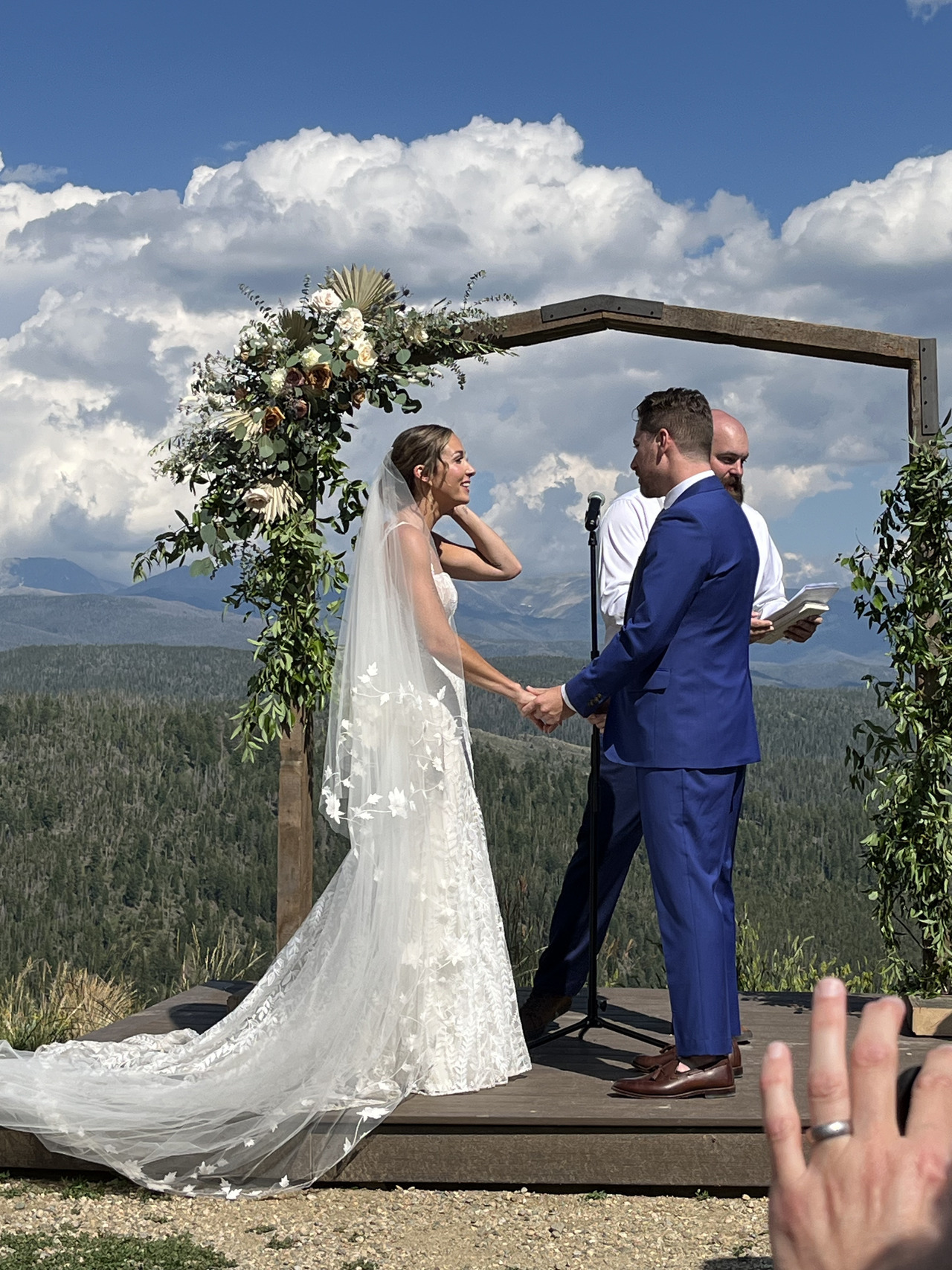
Filename: 0090_Married_Couple_A
Date and Time: 2024:07:20 16:14:52
A great place for the ceremony.
She looks happy....

Filename: 0100_Married_Couple_B
Date and Time: 2024:07:20 16:17:04
The job is done! The fastest wedding ever - 20 minutes.
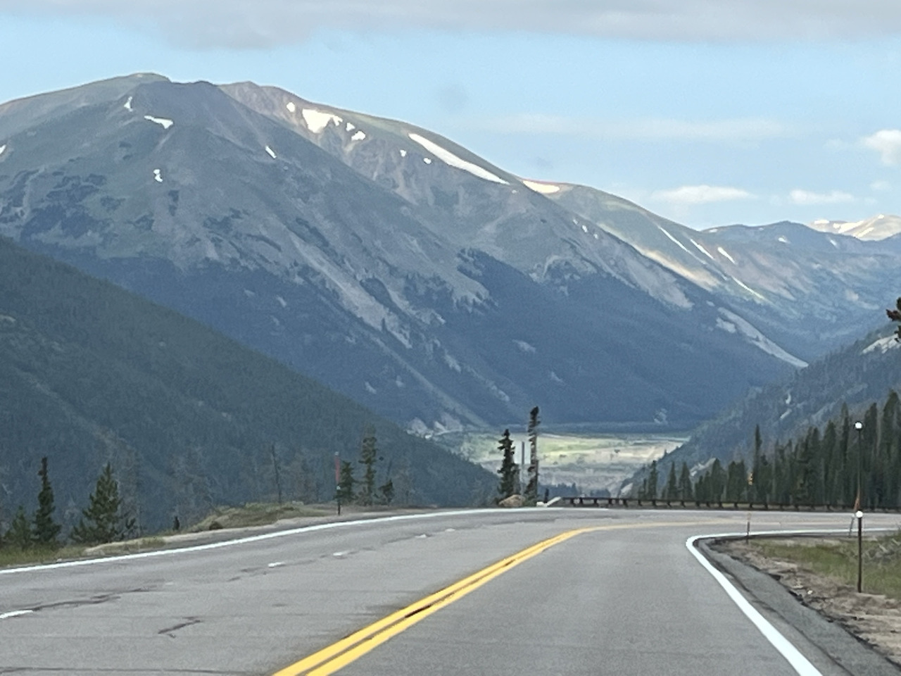
Filename: 0120_I40_To_Glenwood_Springs_B
Date and Time: 2024:07:21 08:02:43
After the wedding, the next day we are en-route to Glenwood Springs, driving along Interstate 40.
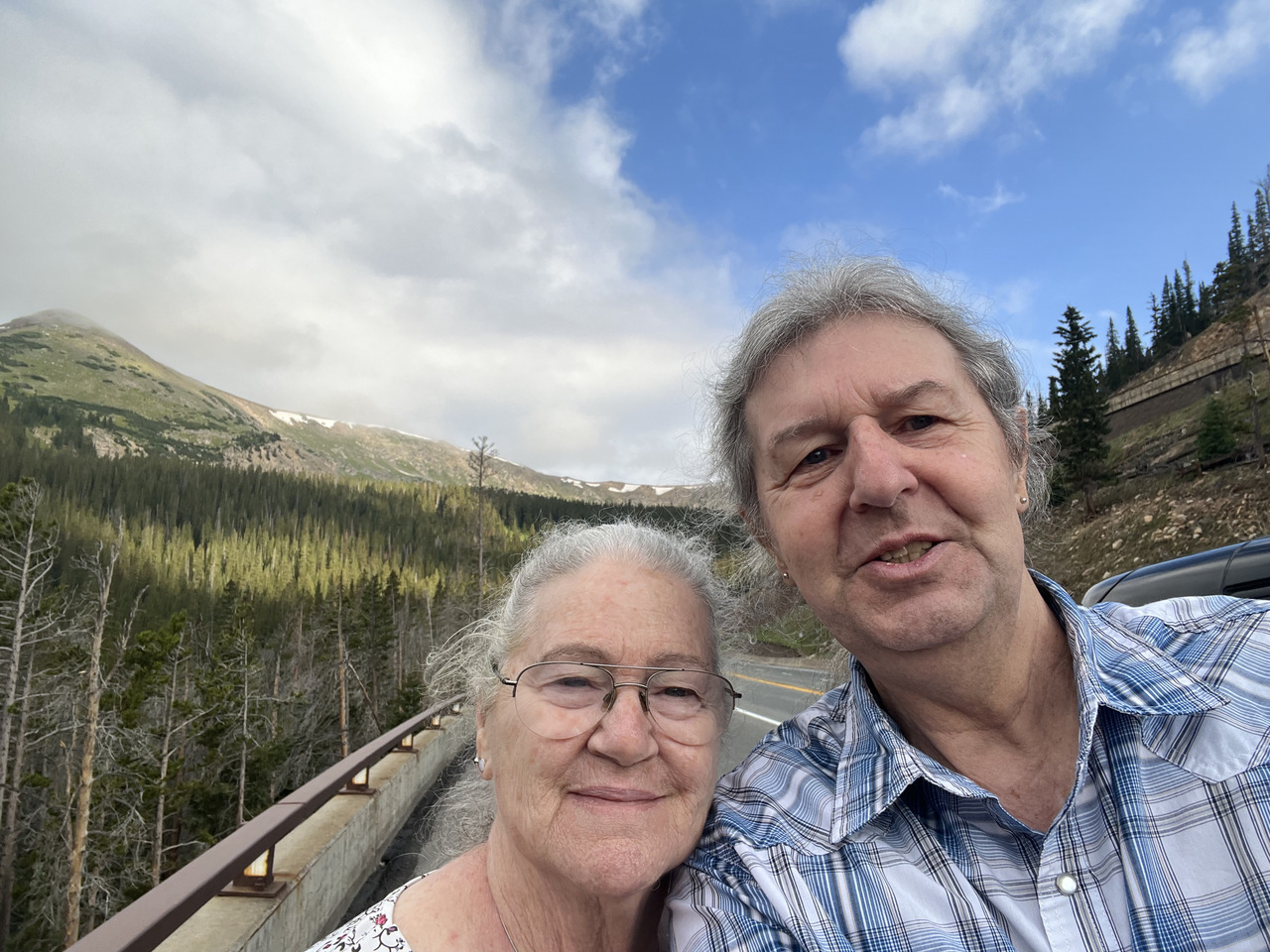
Filename: 0130_I40_Selfie_C
Date and Time: 2024:07:21 08:05:17
A quick stop up a mountainside for a selfie.
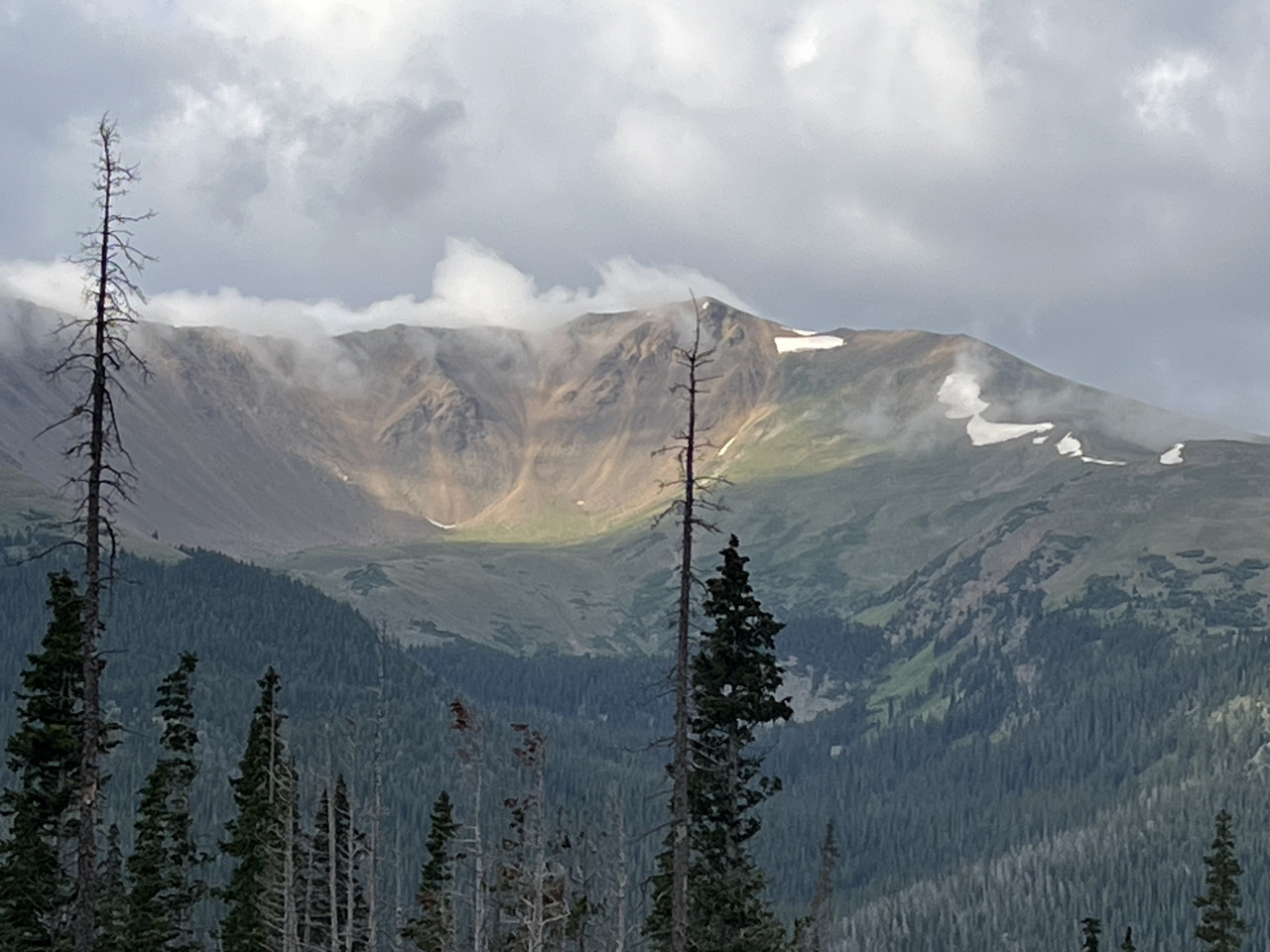
Filename: 0150_I40_Sun_On_Mountain_E
Date and Time: 2024:07:21 08:10:33
One of the many impressive views from the road.
Do not ask me the name of this behemoth.
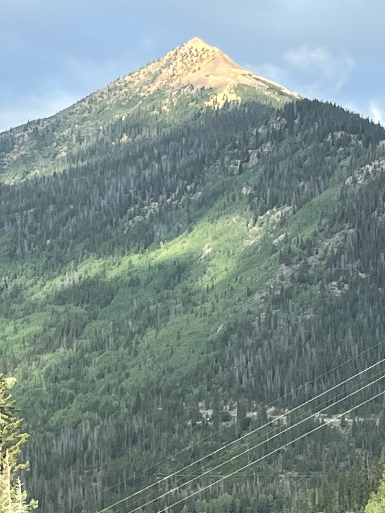
Filename: 0160_I40_Spiky_Peak_F
Date and Time: 2024:07:21 08:14:10
Another hillside. There are lots of trees sticking to the sides.
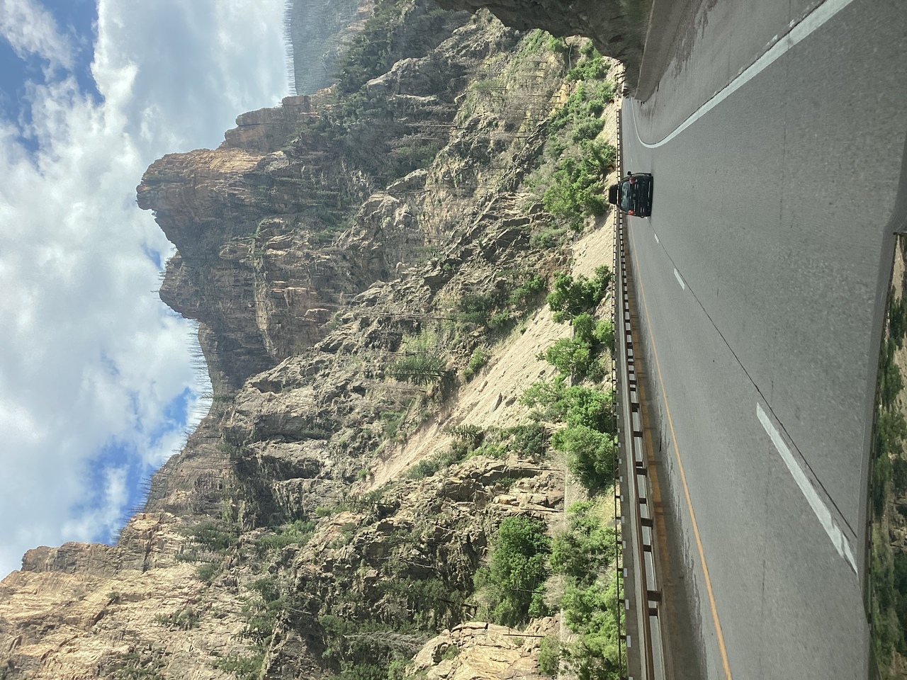
Filename: 0165_Glenwood_Canyon_A
Date and Time: 2024:07:21 17:20:05
Coming down I40 into Glenwood Canyon. Very pretty and the canyon is extensive...
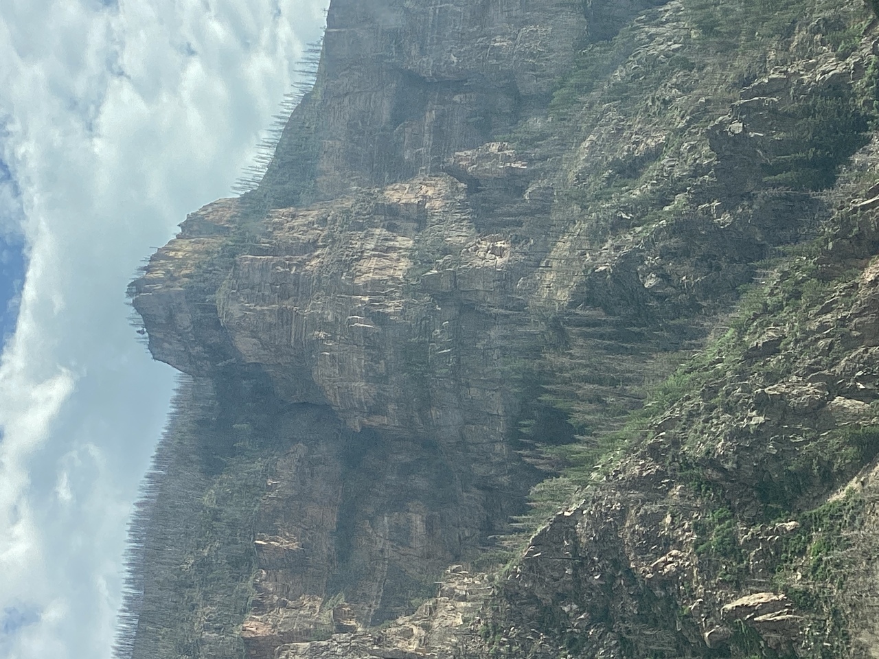
Filename: 0166_Glenwood_Canyon_B
Date and Time: 2024:07:21 17:20:32
Further along into the canyon.
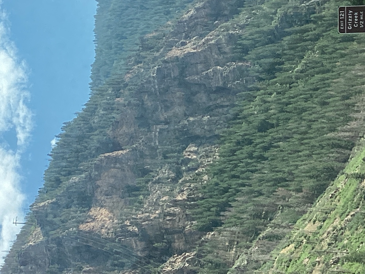
Filename: 0167_Glenwood_Canyon_C
Date and Time: 2024:07:21 17:23:33
And even further....
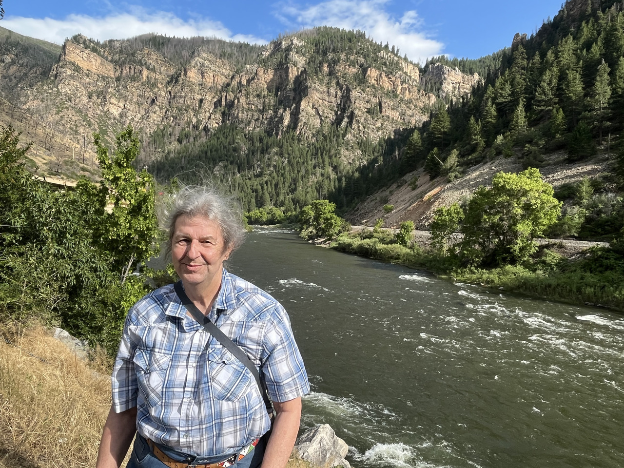
Filename: 0170_Glenwood_Canyon_Mekenok
Date and Time: 2024:07:21 17:30:12
We have reached the end of the canyon, just before going into Glenwood Springs town.
The wind is blowing quite briskly down from the hills.
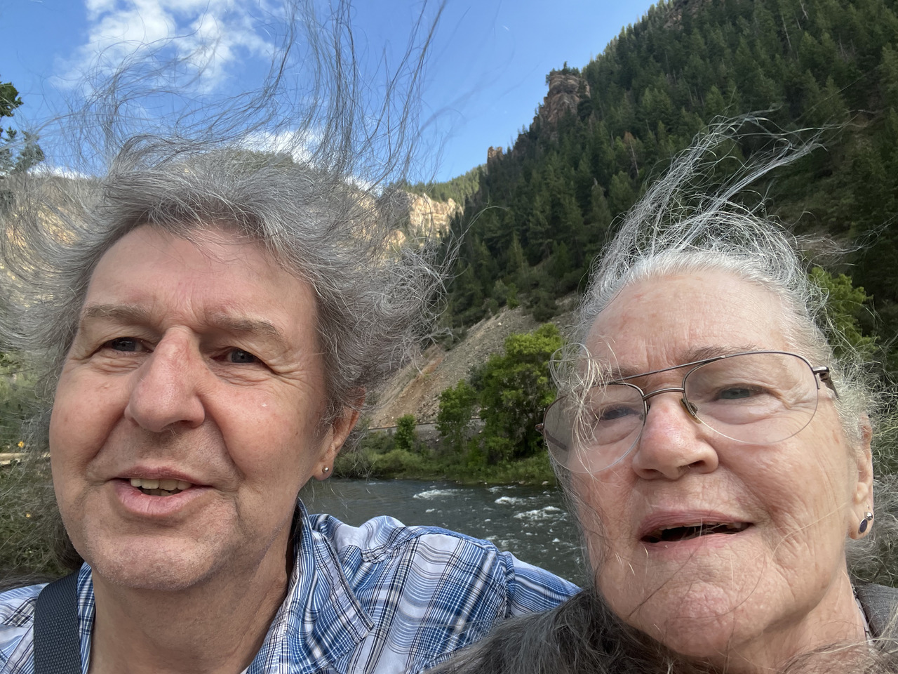
Filename: 0180_Glenwood_Canyon_Breezy_Selfie
Date and Time: 2024:07:21 17:31:46
At the end of the canyon. The wind is ruffling the hairdos..
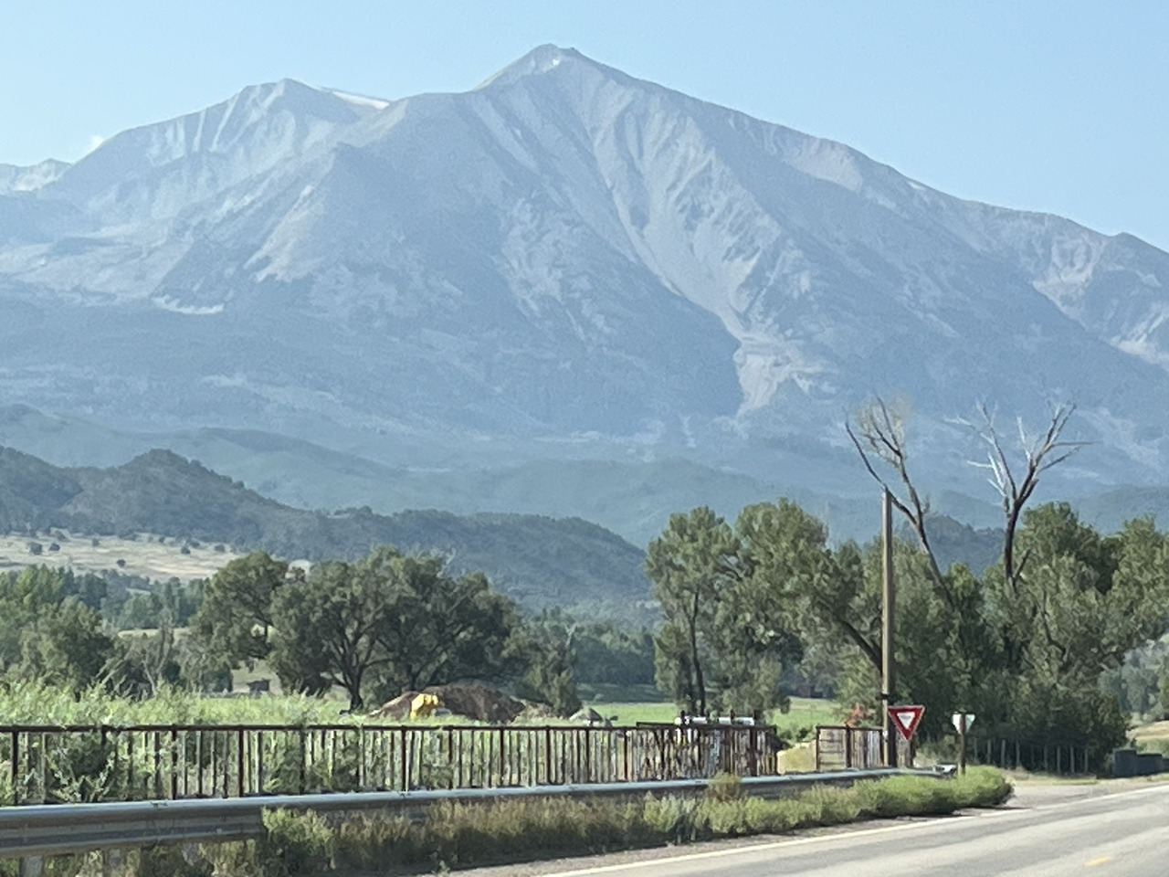
Filename: 0190_In_Carbondale_A
Date and Time: 2024:07:22 09:21:12
Next day we are heading south from Glenwood Springs via Carbondale.
More impressive views.
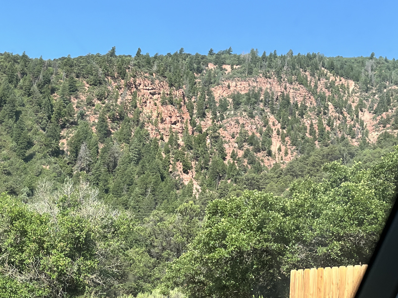
Filename: 0200_Red_Rock_Country_Begins_En_Route_To_Telluride
Date and Time: 2024:07:22 09:28:11
Here the red rocks start to appear in the hillside.
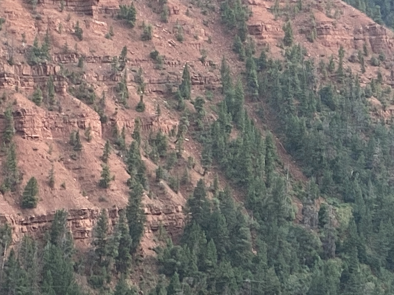
Filename: 0205_Red_Rock_Hillside
Date and Time: 2024:07:21 16:54:41
Steeper slopes and the trees seem to get into any place they can - and hold tight!
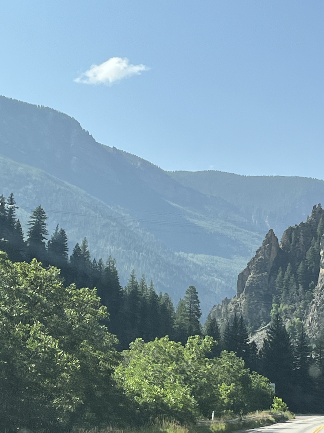
Filename: 0210_Towards_Telluride_A
Date and Time: 2024:07:22 09:33:12
We have cut off from the main route onto a back road heading to Telluride.
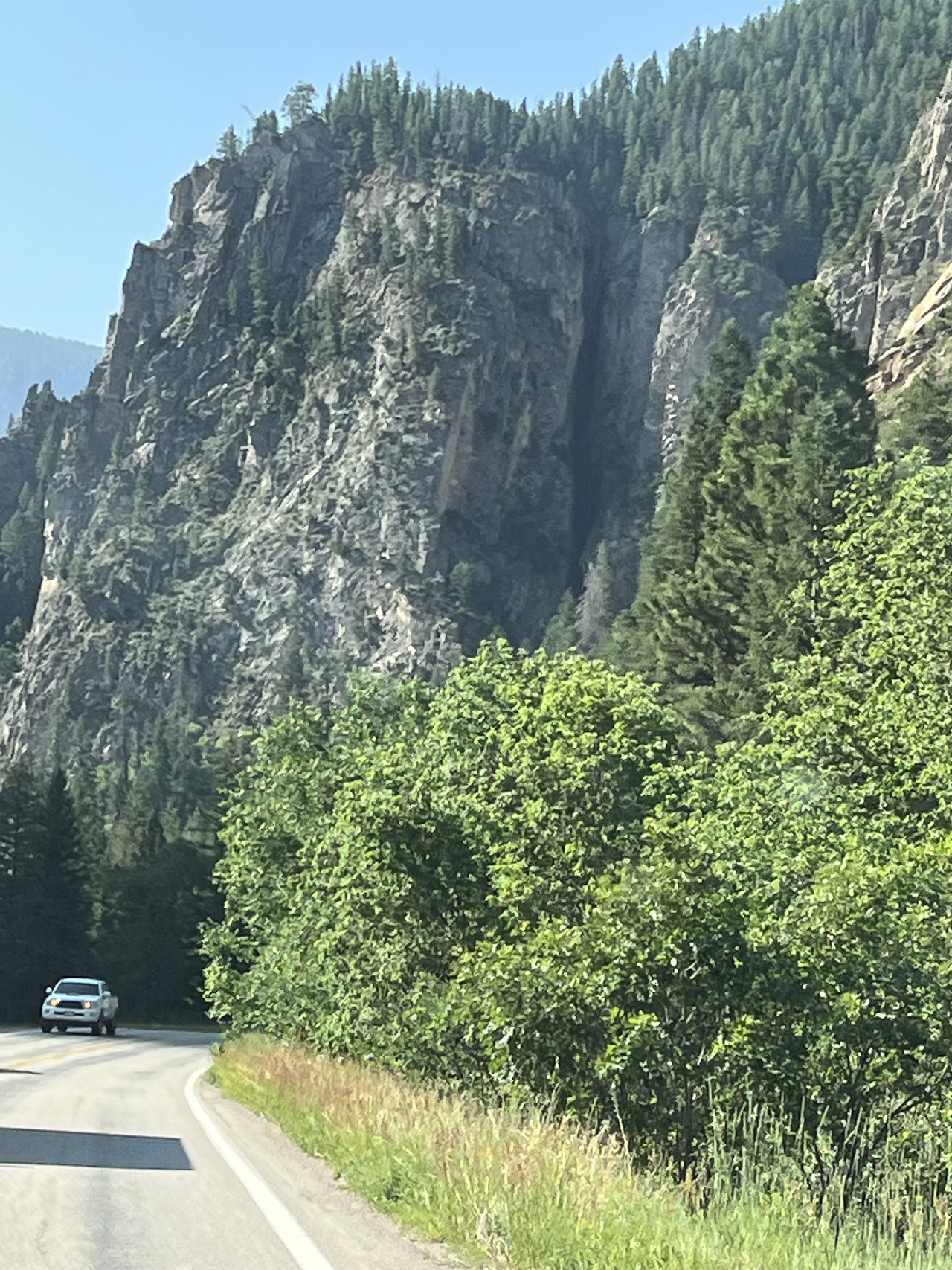
Filename: 0220_Tunnel_On_Road_To_Telluride
Date and Time: 2024:07:22 09:33:16
The road passes through some great countryside.
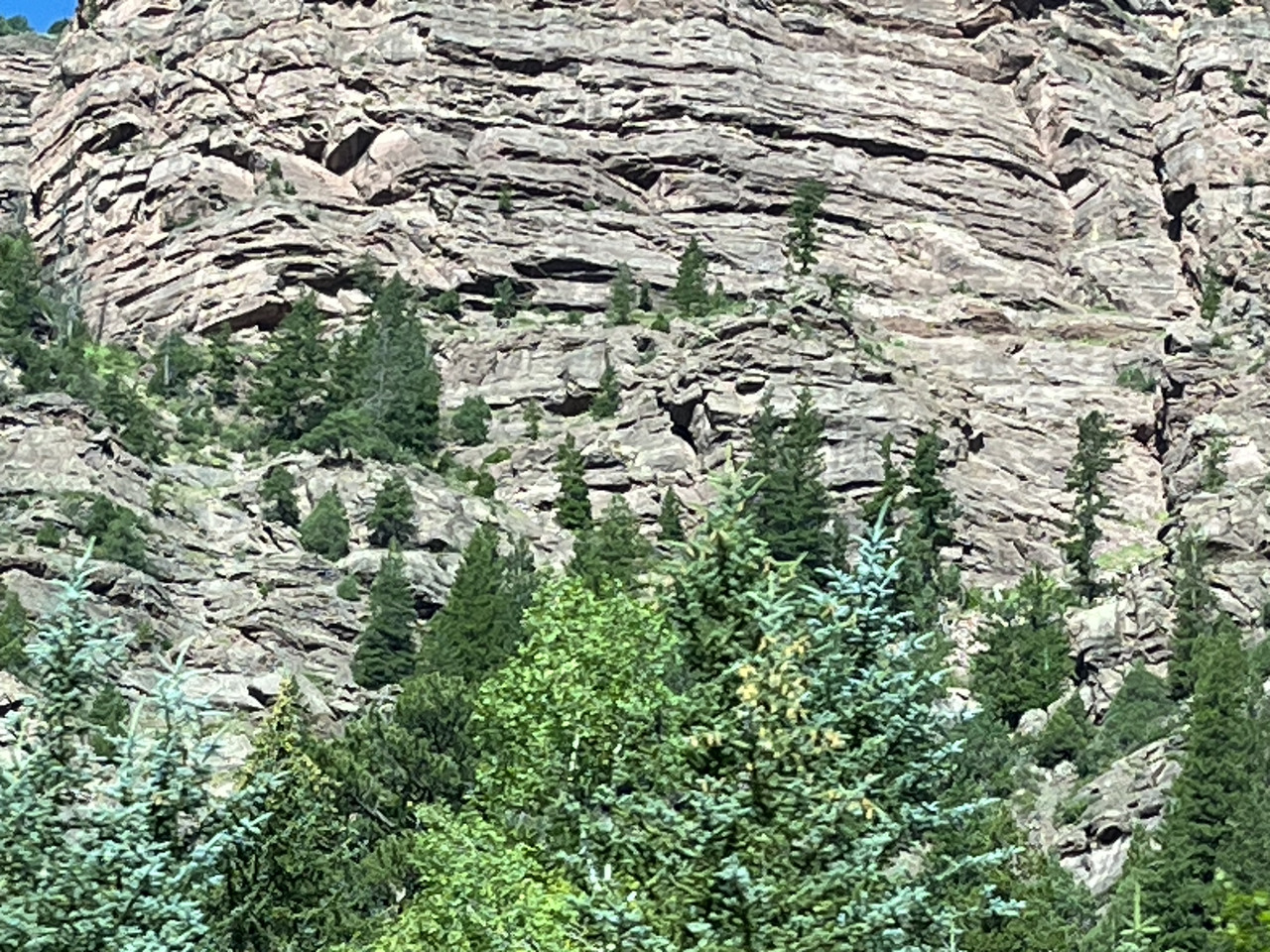
Filename: 0230_Rocks_For_Richard
Date and Time: 2024:07:22 09:36:56
There are many rocky, geologic features. You could spend some fun time here with a geologist's pick hammer.
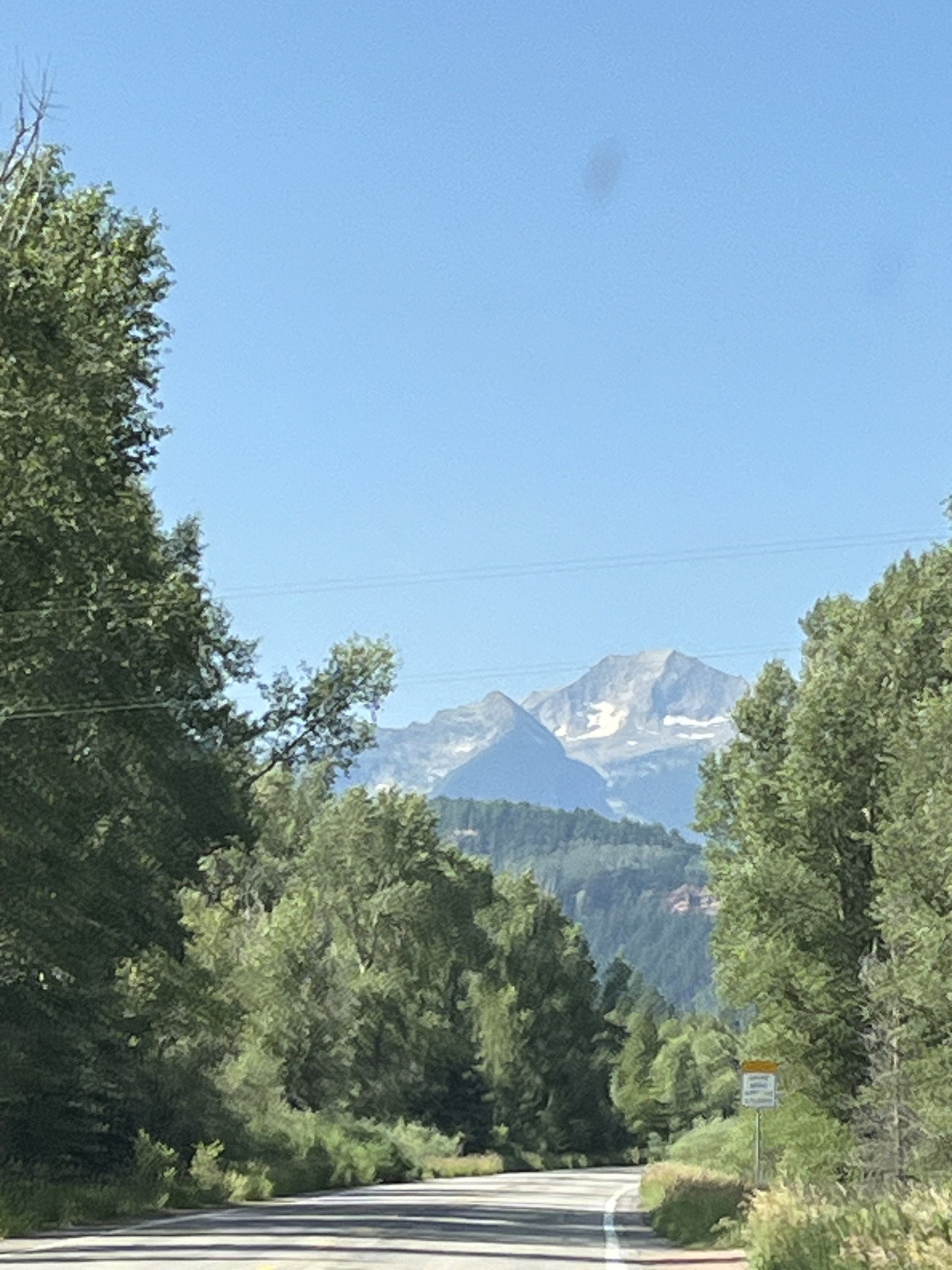
Filename: 0240_Nearing_Telluride
Date and Time: 2024:07:22 09:37:50
Heading downhill into Telluride.
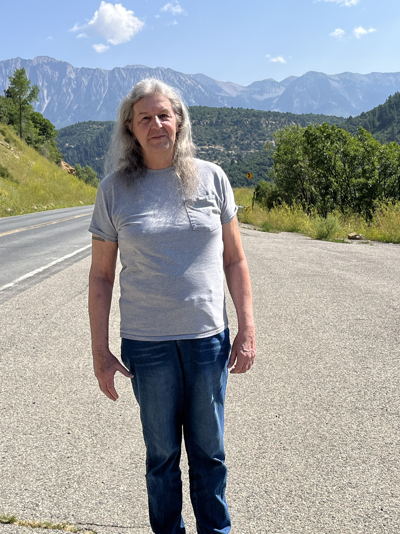
Filename: 0250_Mekenok_In_The_Mountains
Date and Time: 2024:07:22 10:29:34
And another stop for a picture. Just outside the village.
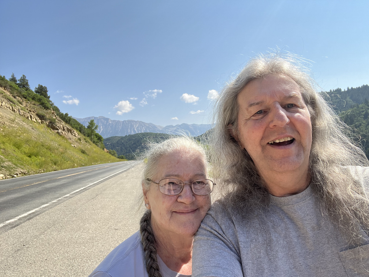
Filename: 0260_Selfie_In_The_Mountains
Date and Time: 2024:07:22 10:30:18
We could not resist another selfie!
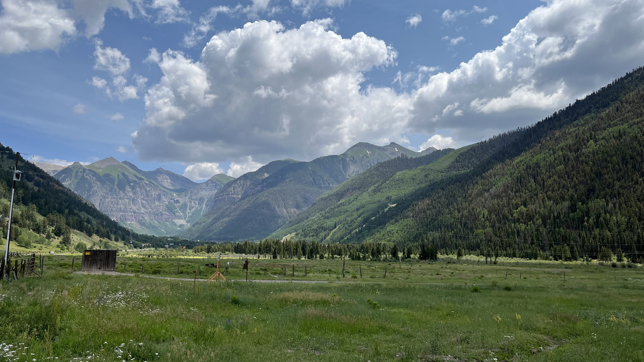
Filename: 0280_Telluride_Valley
Date and Time: 2024:07:22 13:44:37
Here we are in the Telluride valley. This town is famous for the ski slopes, somewhat like Aspen, but smaller.
Telluride, is a former Victorian mining town in Colorado’s Rocky Mountains, is set in a box canyon amid forested peaks at the base of a popular ski-and-golf resort. The town’s historic district houses landmarks like the Sheridan Opera House, a performing-arts venue originally built in 1913, and the Telluride Historical Museum, which showcases local history in a converted hospital built in 1896.
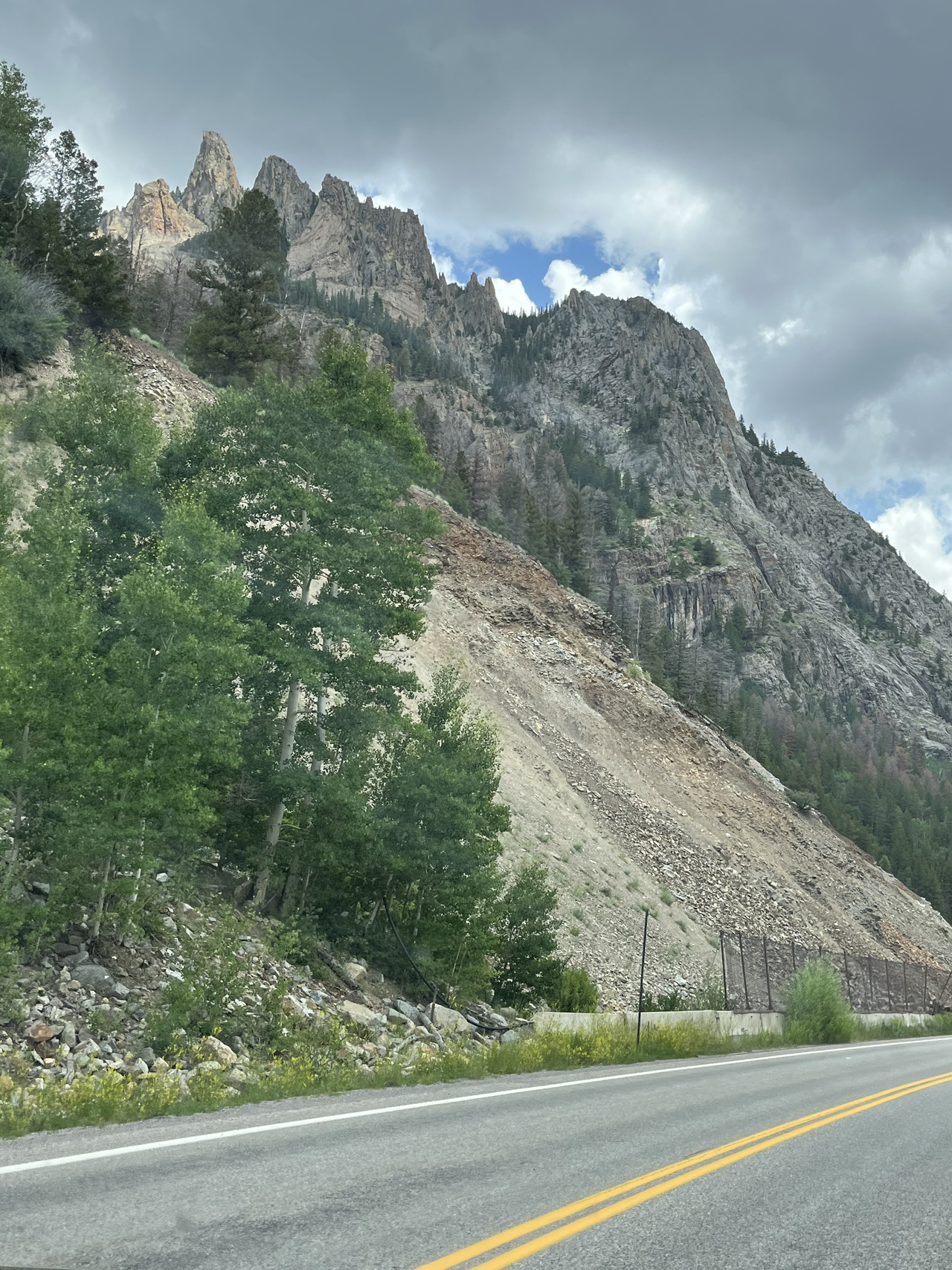
Filename: 0290_Leaving_Telluride_A
Date and Time: 2024:07:22 14:04:25
Having taken a rest stop and a fill-up of the old pony (a Jeep Renegade), we are leaving the valley heading out towards Cortez.
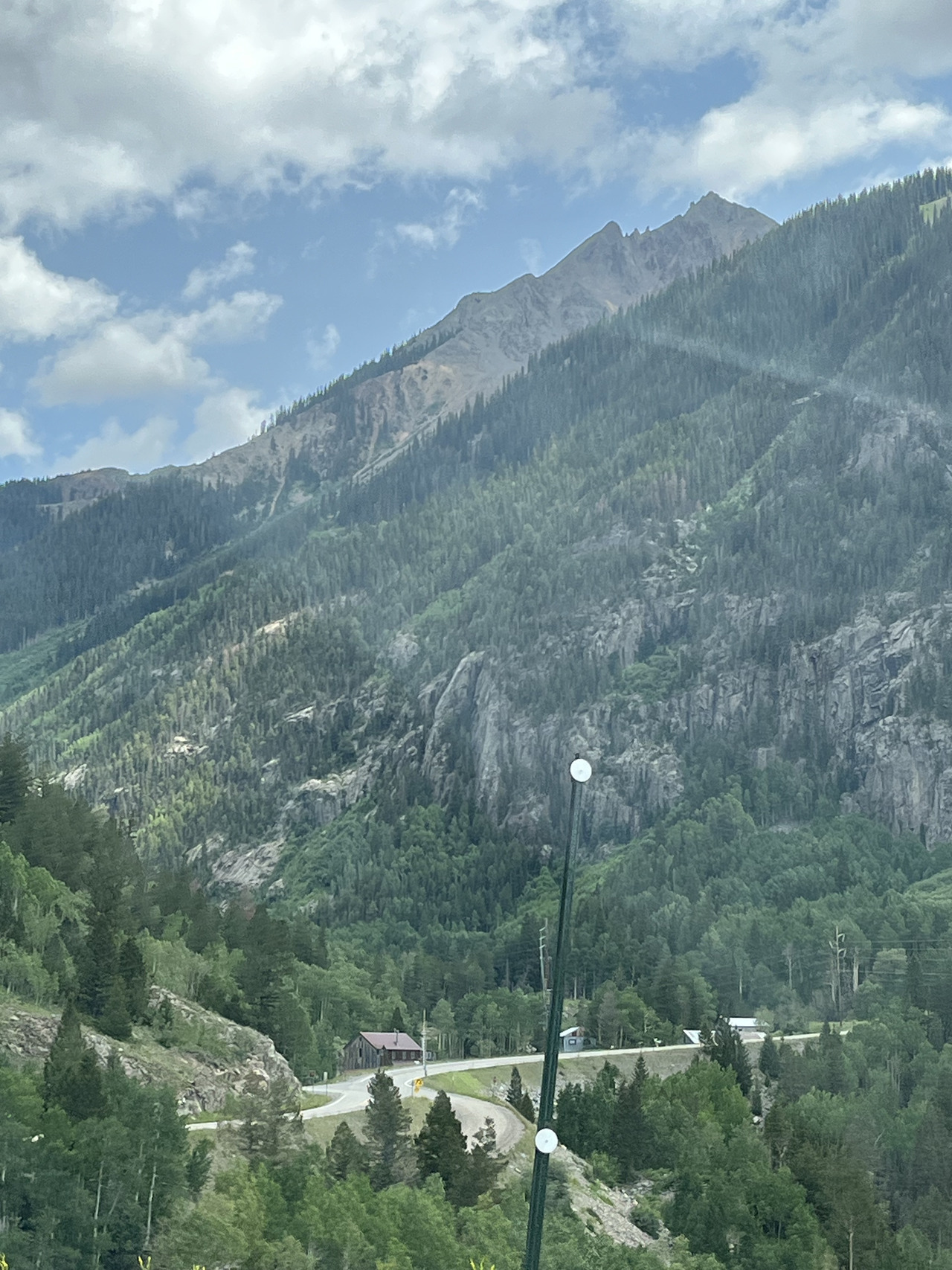
Filename: 0300_LeavingTelluride_B
Date and Time: 2024:07:22 14:04:35
The road became quite interesting........
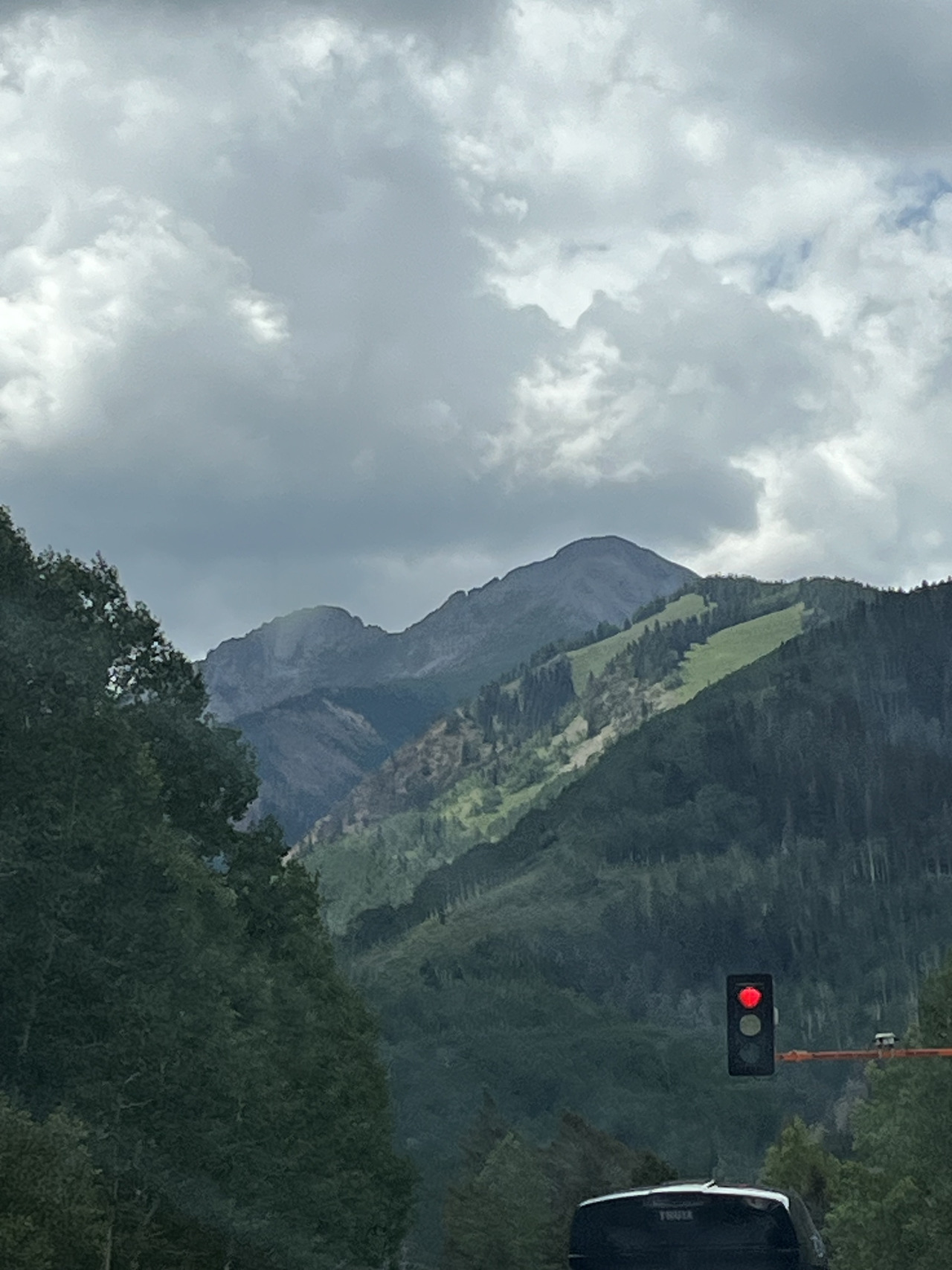
Filename: 0310_Stop_For_The_View
Date and Time: 2024:07:22 14:06:08
A stop light in the middle of nowhere. Stop for the view?
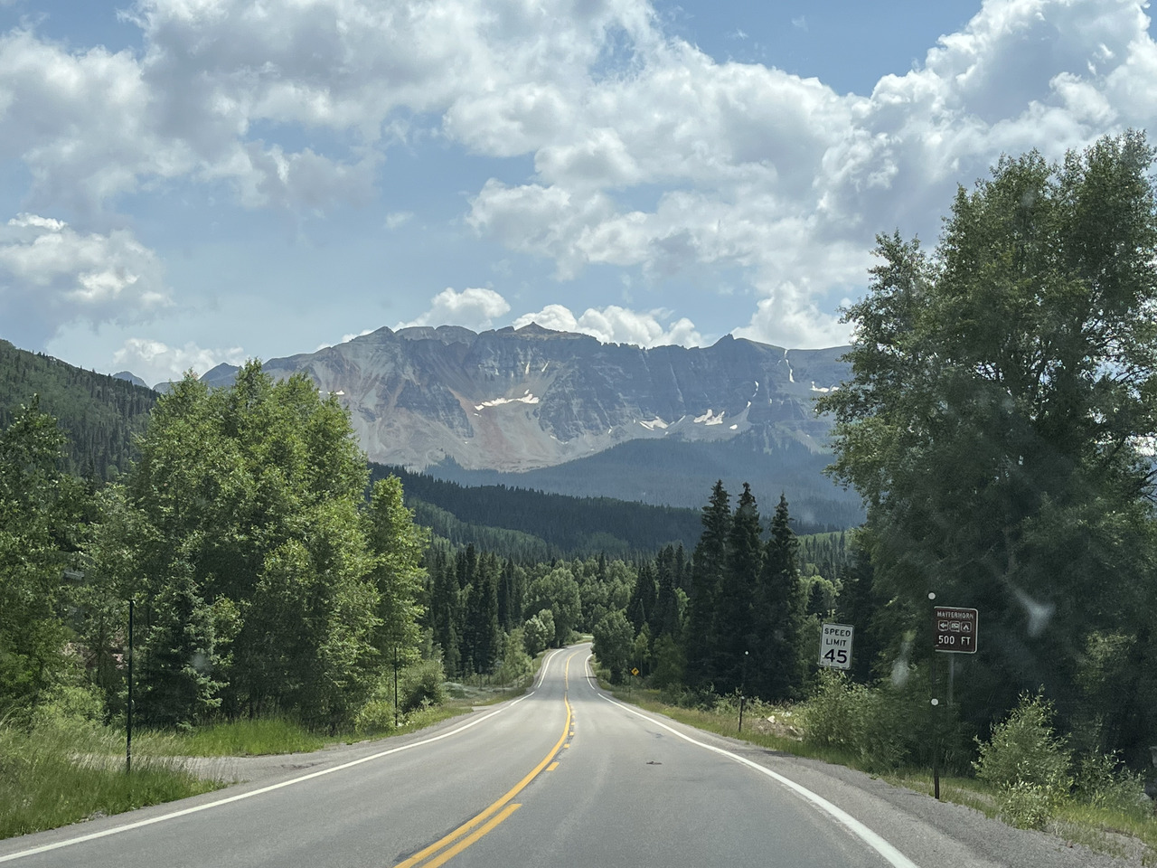
Filename: 0320_Towards_Cortez_A
Date and Time: 2024:07:22 14:08:20
A last scenic view before hitting the dry country.
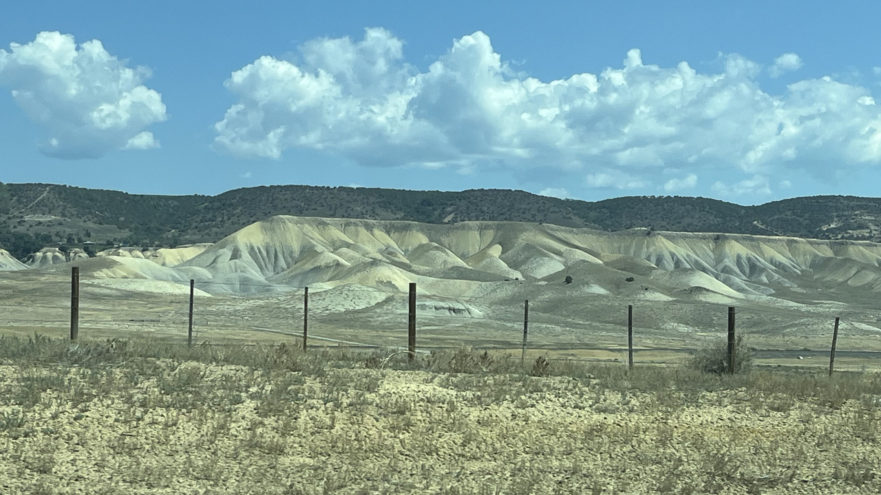
Filename: 0321_The_Dry_lands
Date and Time: 2024:07:22 11:18:47
After leaving Cortez, we travelled through some dry lands.
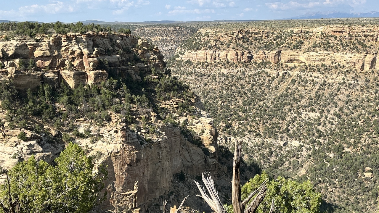
Filename: 0322_Mesa_Verde_Canyon
Date and Time: 2024:07:22 17:10:47
We have reached the Mesa Verde national park.
It is a 20 mile drive from the park entrance up to the interesting places.
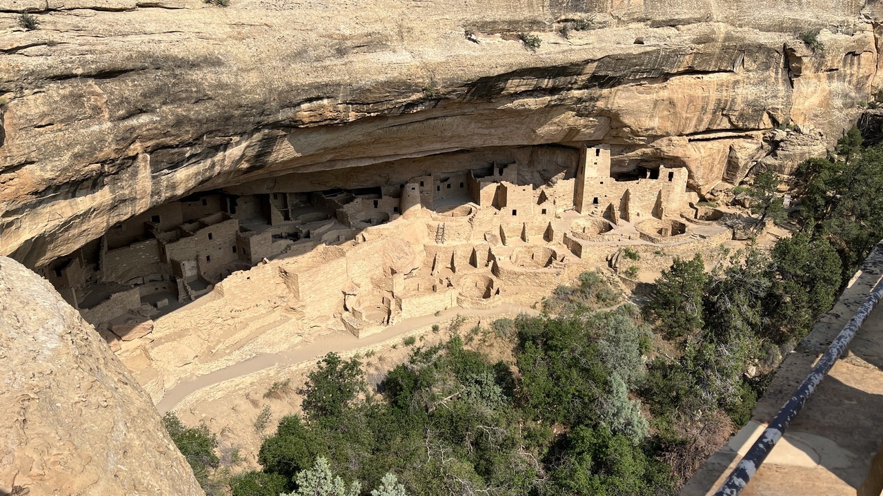
Filename: 0325A_Mesa_Verde
Date and Time: 2024:07:22 16:39:02
This picture is the view most commonly seen in books and magazines, but to actually see it is quite something.
Mesa Verde National Park is an American national park and UNESCO World Heritage Site located in Montezuma County, Colorado, and the only World Heritage Site in Colorado. The park protects some of the best-preserved Ancestral Puebloan ancestral sites in the United States.
Established by Congress and President Theodore Roosevelt in 1906, the park occupies 52,485 acres (212 km2) near the Four Corners region of the American Southwest. With more than 5,000 sites, including 600 cliff dwellings, it is the largest archaeological preserve in the United States. Mesa Verde (Spanish for "green table", or more specifically "green table mountain") is best known for structures such as Cliff Palace, one of the largest cliff dwellings in North America.
Starting c. 7500 BC Mesa Verde was seasonally inhabited by a group of nomadic Paleo-Indians known as the Foothills Mountain Complex.
The Pueblo people survived using a combination of hunting, gathering, and subsistence farming of crops such as corn, beans, and squash (the "Three Sisters"). They built the mesa's first pueblos sometime after 650, and by the end of the 12th century, they began to construct the massive cliff dwellings for which the park is best known.
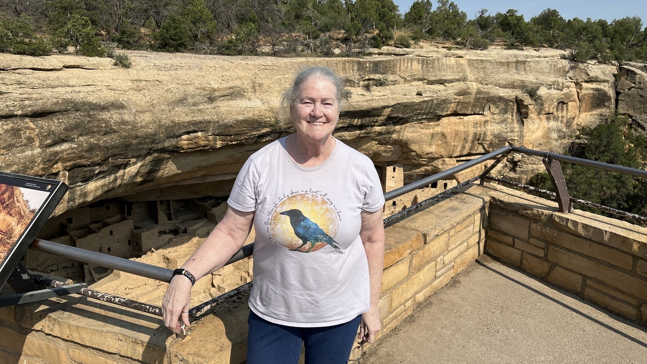
Filename: 0325B_Crow_In_Mesa_Verde
Date and Time: 2024:07:22 16:39:32
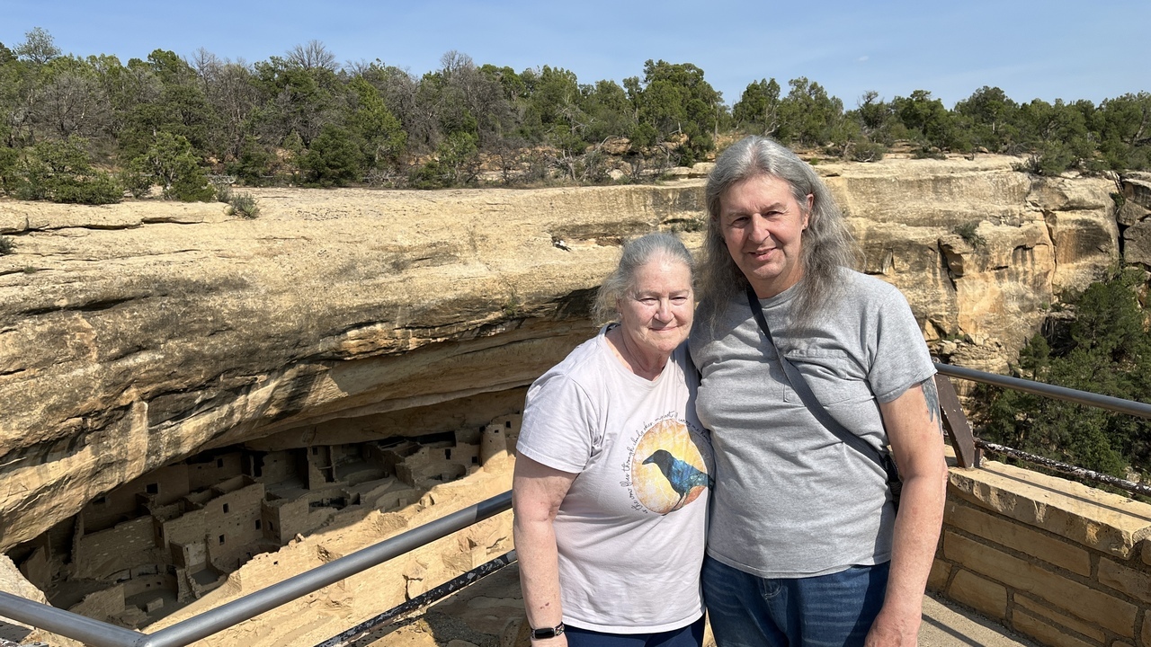
Just to show we wre actually there.
The temperatutre by the way, is heading towards 100 deg F.
Filename: 0325C_Selfie_In_Mesa_Verde
Date and Time: 2024:07:22 16:39:57
We cannot resist another selfie. Well we are on holiday...
Filename: 0325D_Mesa_Verde_A
Date and Time: 2024:07:22 16:42:26
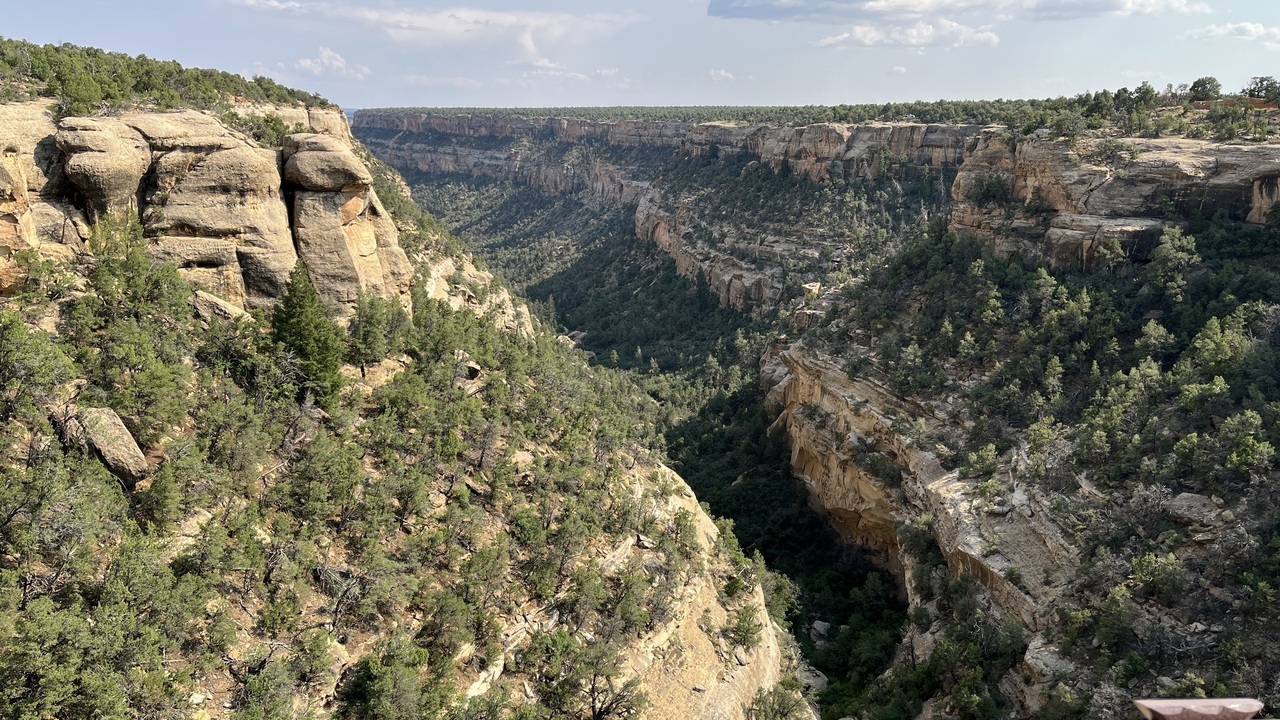
Here is a view up the Mesa Verde canyon.
Filename: 0325E_Mesa_Verde_B
Date and Time: 2024:07:22 16:54:46
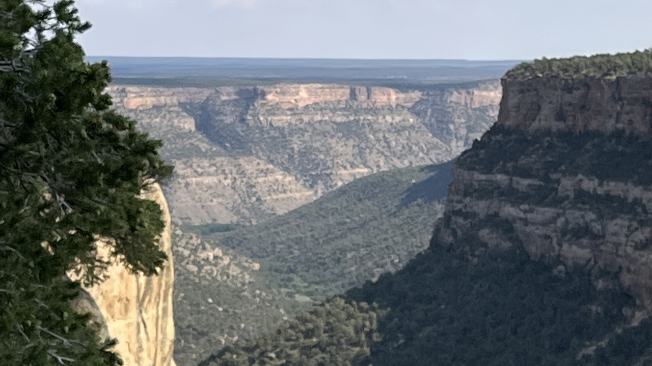
Another view along the canyon.
Filename: 0325F_Mesa_Verde_C
Date and Time: 2024:07:22 17:40:41
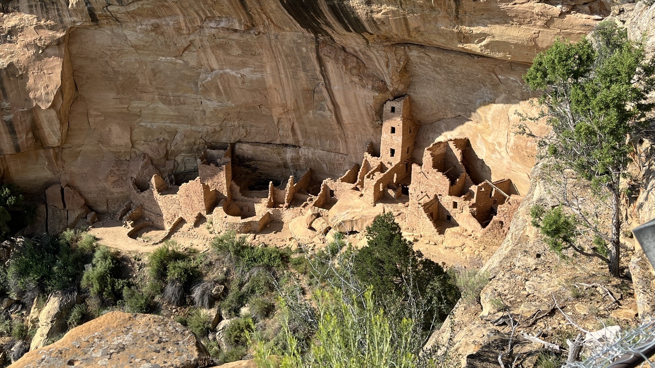
It is amazing how they built under the protection of the cliffs.
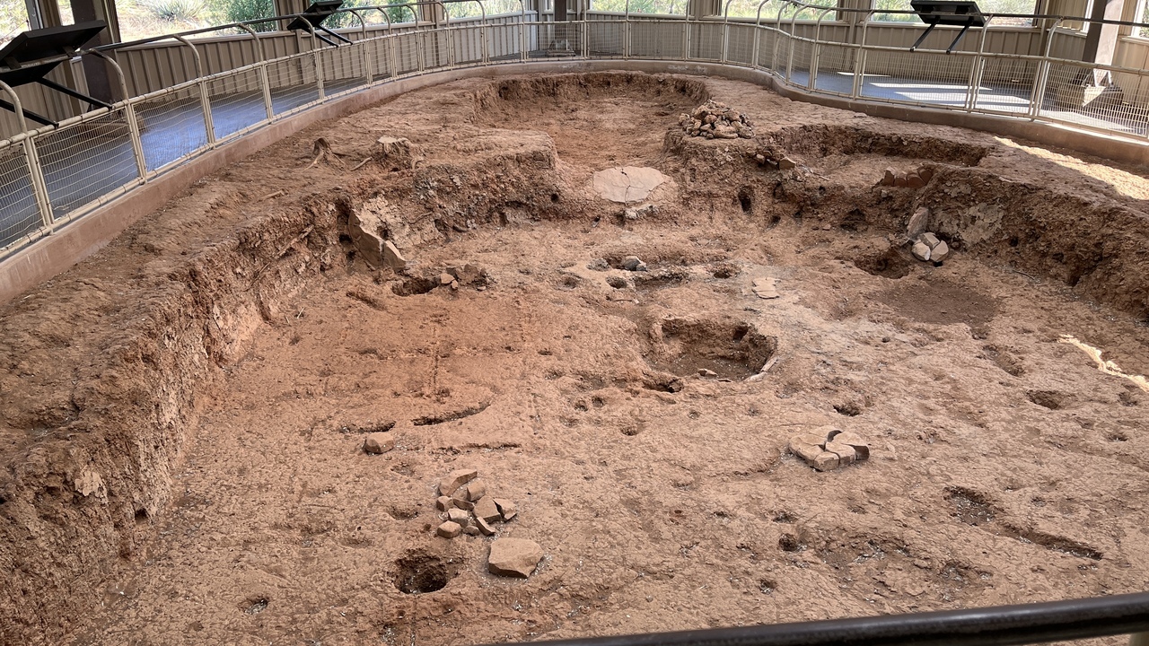
Filename: 0325F_Pithouse
Date and Time: 2024:07:22 17:24:43
Here is a picture of a pithouse that has been excavated.
See next picture for illuminating information.
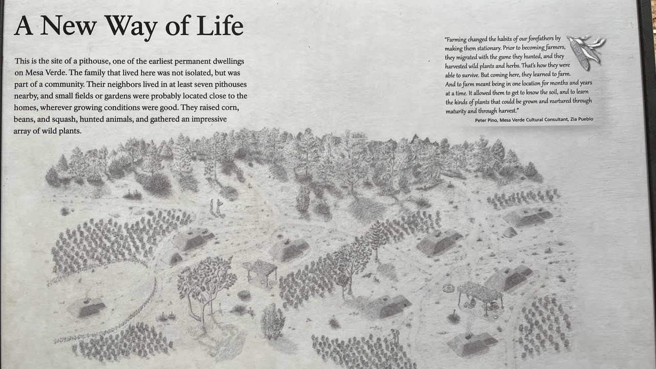
Filename: 0325G_Pithouse_Poster
Date and Time: 2024:07:22 17:25:02
Information provided by the park.
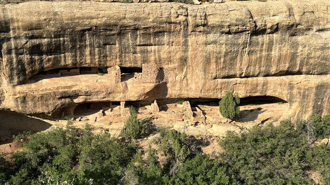
Filename: 0325H_Mesa_Verde_D
Date and Time: 2024:07:22 17:57:30
There are buildings right along the canyon walls.
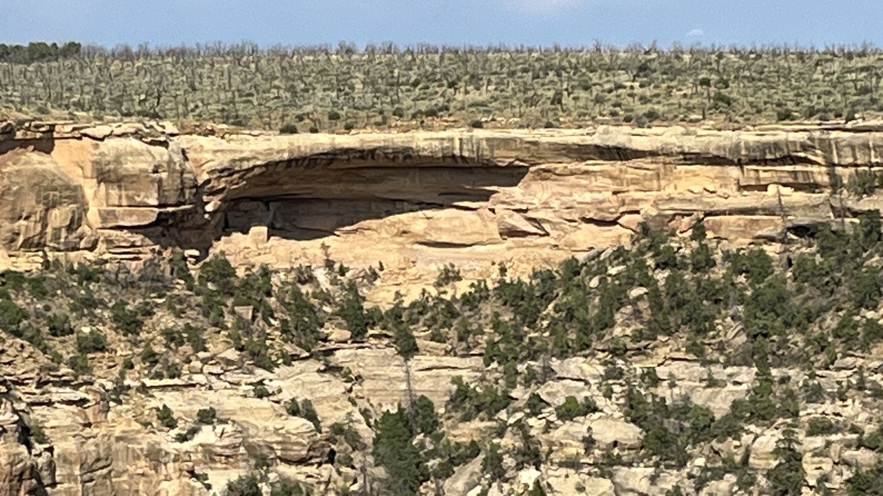
Filename: 0325I_Cliff_Dwelling
Date and Time: 2024:07:22 17:02:41
And areas that would provide protection from the elements.
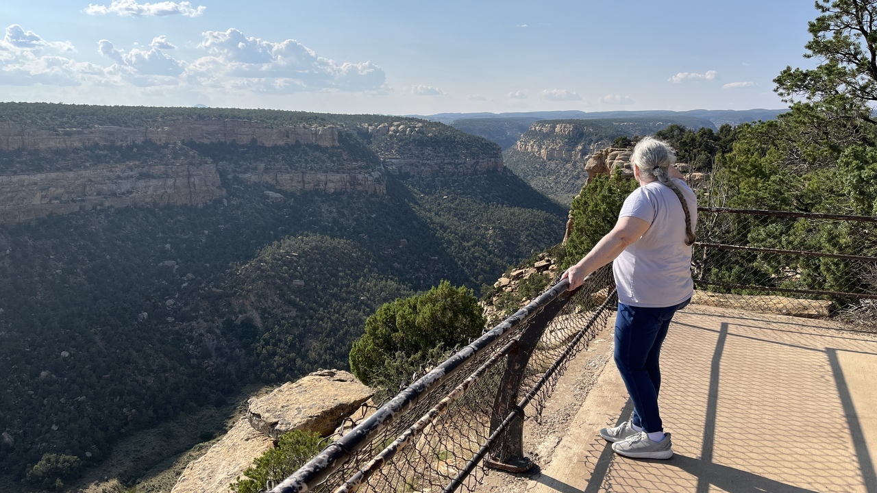
Filename: 0325J_Viewing_Mea_Verde
Date and Time: 2024:07:22 17:31:30
It is worth taking a moment to relect upon the people who lived here so many years ago.
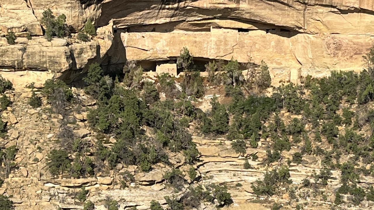
Filename: 0325K_Cliff_House
Date and Time: 2024:07:22 17:51:42
One last peek at the buildings that scatter throught the canyon.
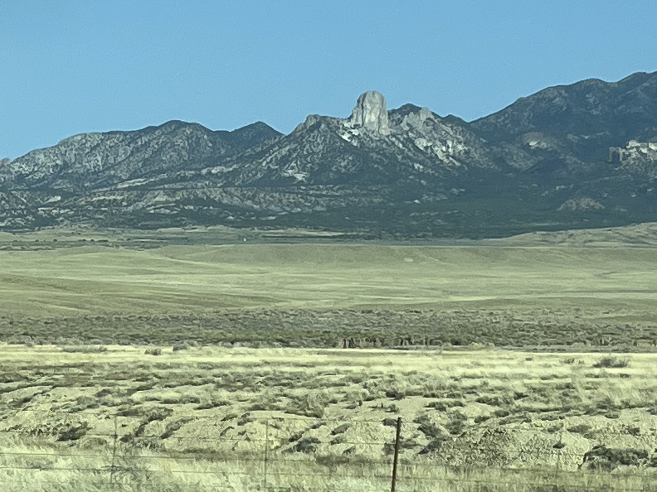
Filename: 0330_Heading_To_Monument_Valley_A
Date and Time: 2024:07:23 09:17:12
This was just an interesting little rock outcrop we saw along the road after leaving Cortez for Monument Valley.
The whole area has outcrops of amazing variety.
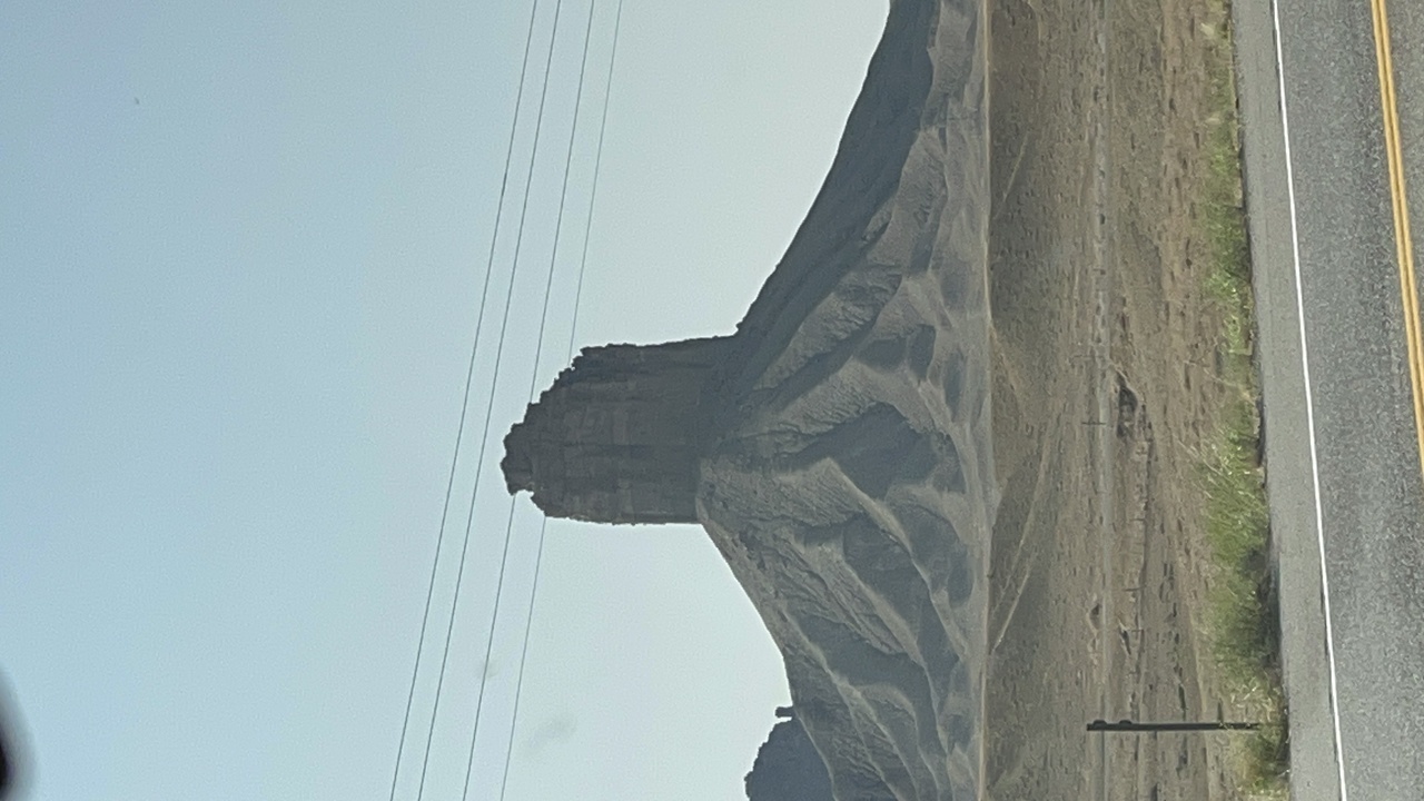
Filename: 0340_Heading_To_Monument_Valley_B
Date and Time: 2024:07:23 09:20:40
We are not quite into Monument Valley, but this structure gives an idea of things to come.
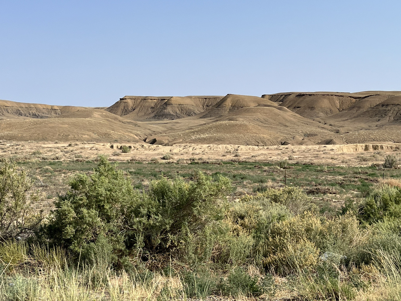
Filename: 0345_Deadlands_Before_Monument_Valley
Date and Time: 2024:07:23 09:29:41
There are many areas of dry, desert like landscapes.
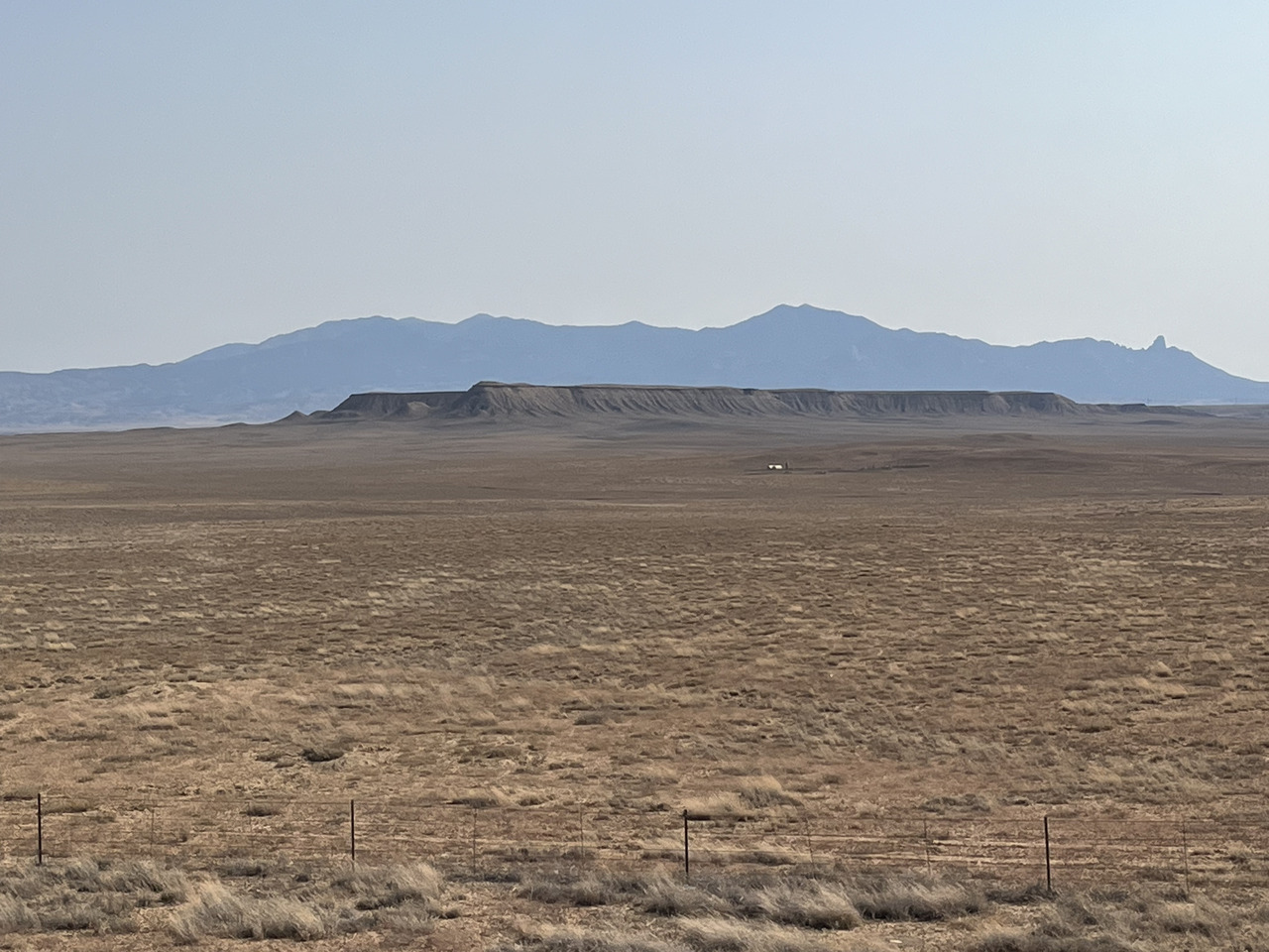
Filename: 0350_Heading_To_Monument_Valley_C
Date and Time: 2024:07:23 09:38:59
We are not far from Monument Valley now. The whole area is dry and dusty.
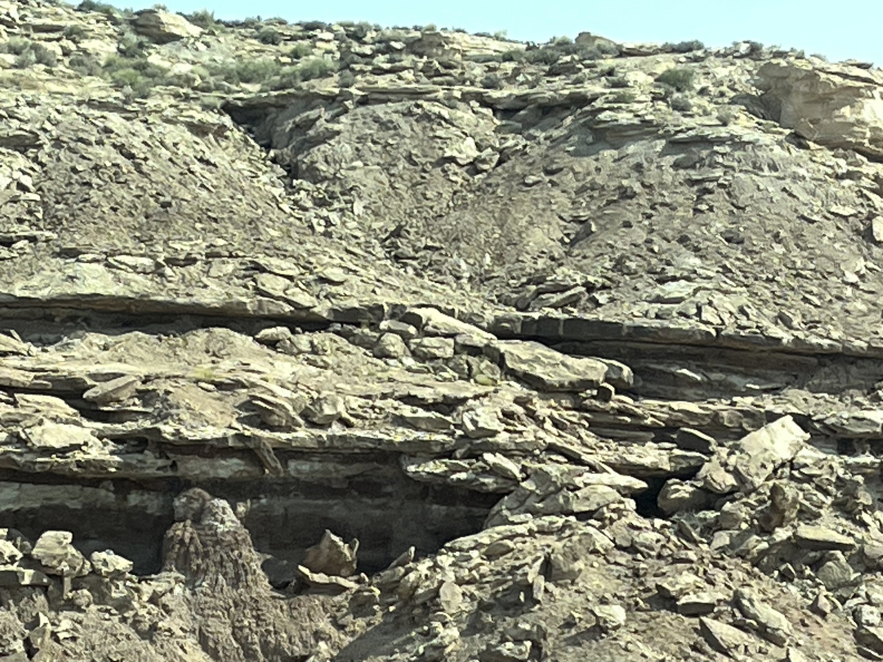
Filename: 0360_More_Rocks_For_Richard
Date and Time: 2024:07:23 10:13:20
The roadside shows varied rock types as we drive along.
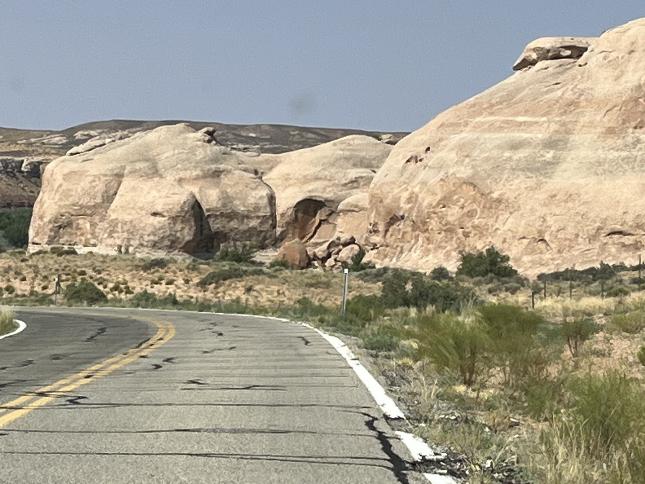
Filename: 0370_Heading_To_Monument_Valley_Sandstone_Rocks_A
Date and Time: 2024:07:23 10:20:43
Erosion works in different ways forming interesting shapes from the sandstone.
Filename: 0380_Heading_To_Monument_Valley_Sandstone_Rocks_B
Date and Time: 2024:07:23 10:22:19
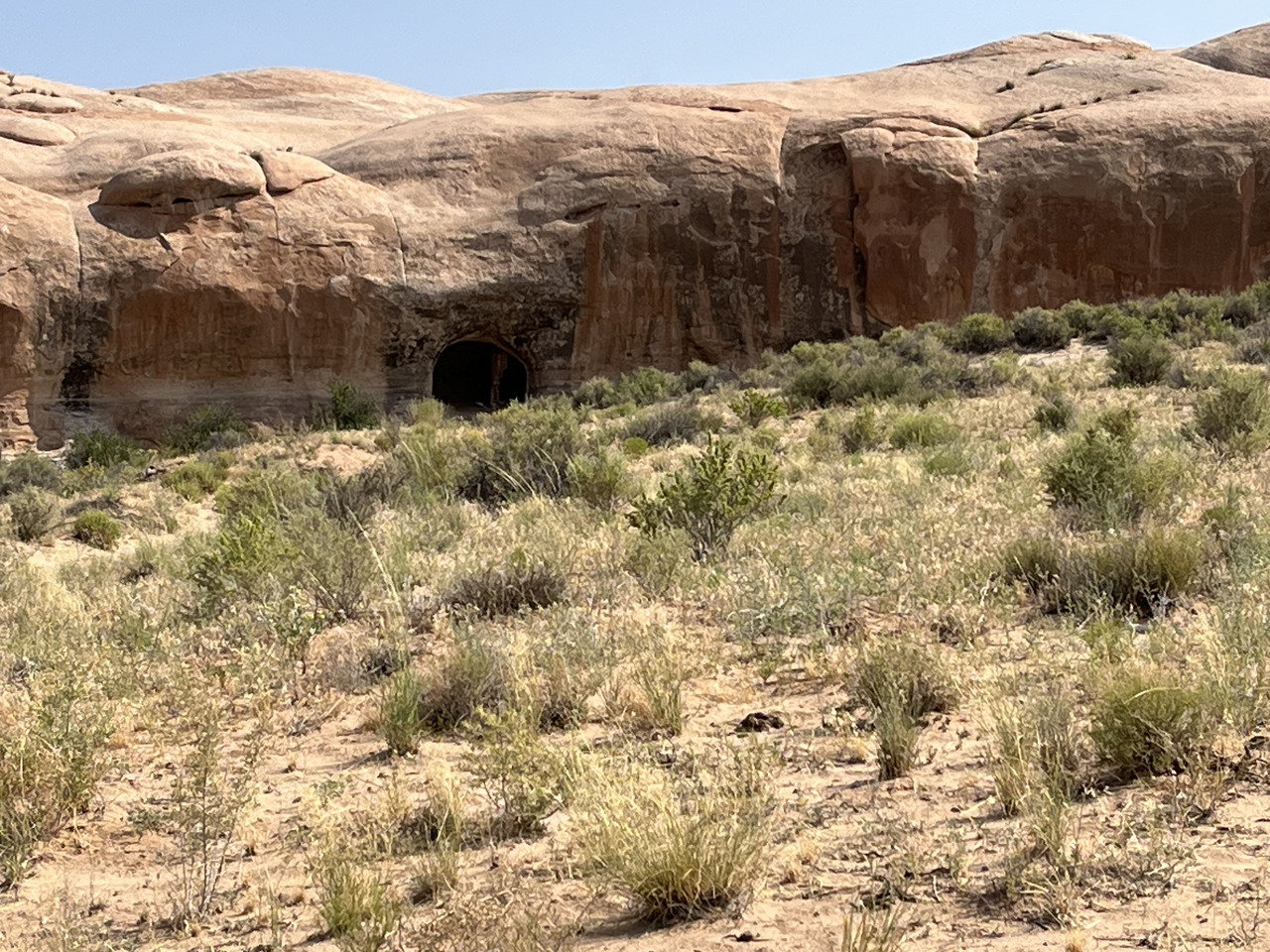
It looks as though many small caves were formed. Perhaps they would have offered shelter to the inhabitants of years ago.
Filename: 0390_Farm_Under_Rocks
Date and Time: 2024:07:23 10:29:17
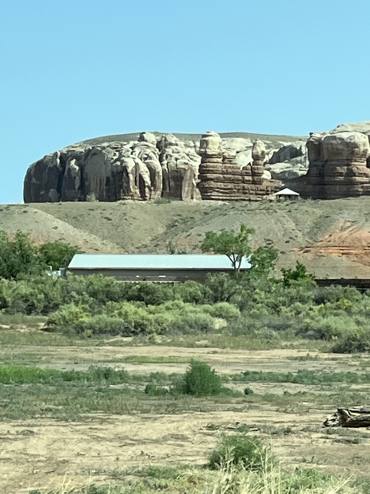
Wherever there is water, we find people living nearby.
Filename: 0400_Trailer_Camp
Date and Time: 2024:07:23 10:30:10
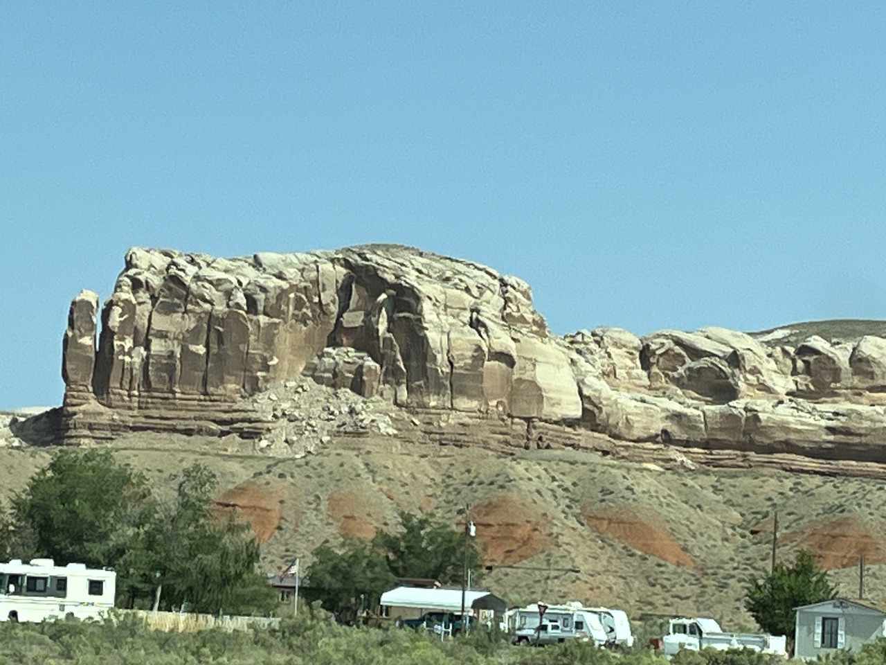
And parking areas for RV's.
Filename: 0410_Red_Rock_Country
Date and Time: 2024:07:23 10:30:42
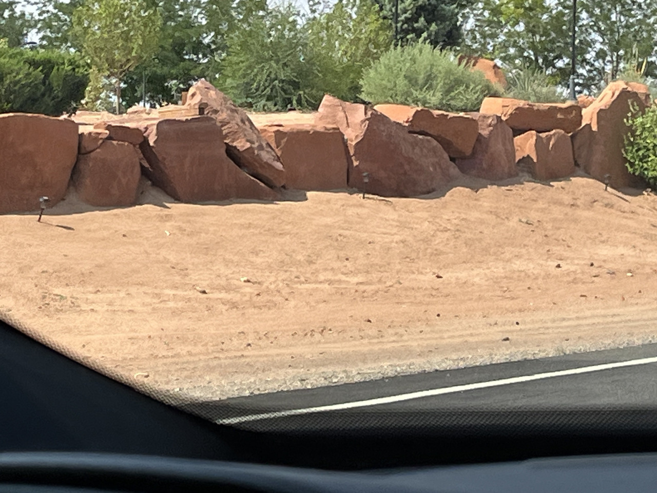
Here is real red-rock country.
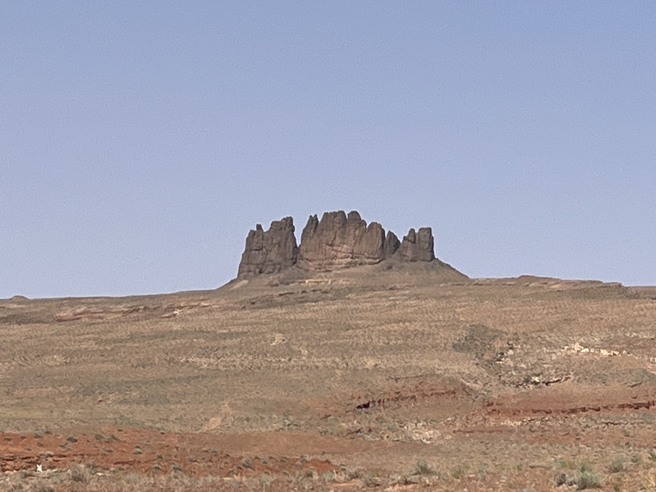
Filename: 0420_Finger_Rocks
Date and Time: 2024:07:23 10:55:41
Another outcrop.
Rather like finger rocks.
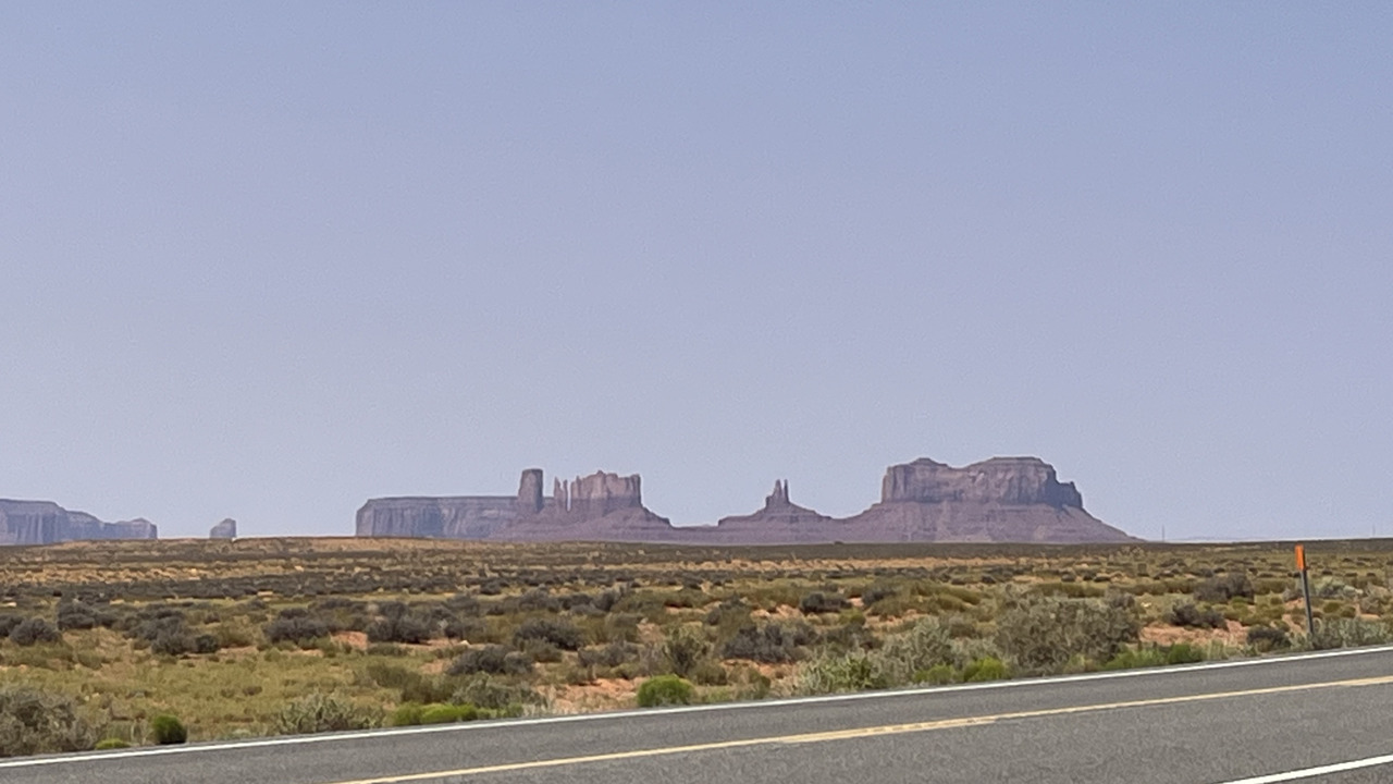
Filename: 0430_Finally_Monument_Valley_A
Date and Time: 2024:07:23 11:03:30
Finally we get the distant view of Monument Valley.
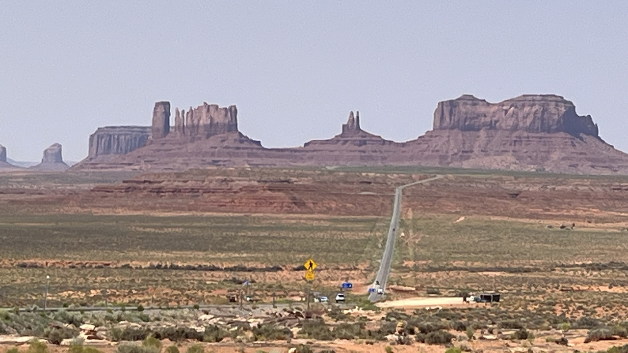
Filename: 0440_The_Road_To_The_Rocks
Date and Time: 2024:07:23 11:10:05
You may have seen a similar viw in travel magazines, but this is how it is. The road travels right beneath the outcrops.
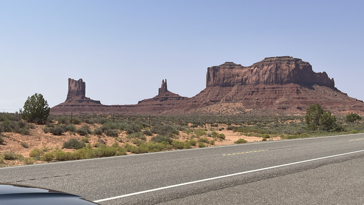
Filename: 0470_Rocks_View_B
Date and Time: 2024:07:23 11:32:01
Coming alongside.
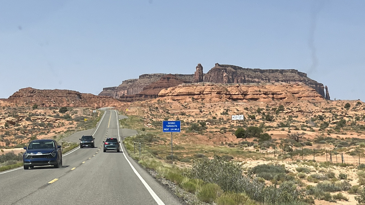
Filename: 0480_Rocks_From_The_Other_Side_A
Date and Time: 2024:07:23 11:33:17
And this is the view from the other side. Not quite as impressive.
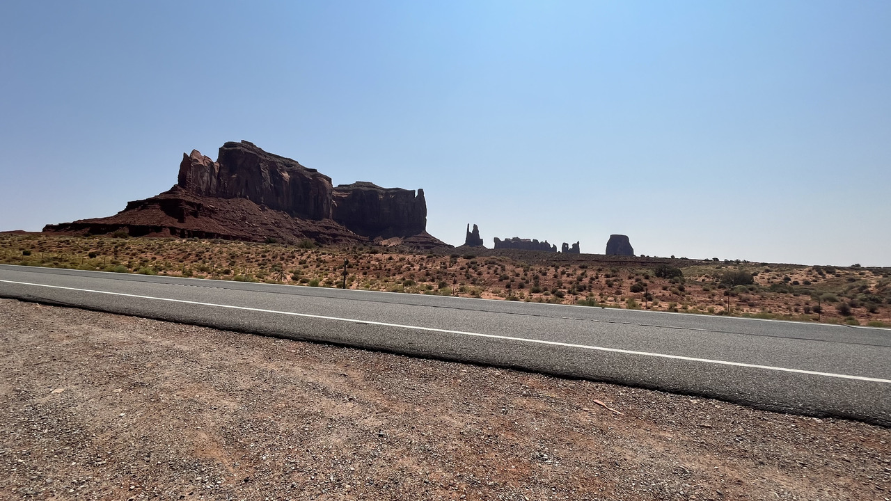
Filename: 0490_Rocks_From_The_Other_Side_B
Date and Time: 2024:07:23 11:36:14
You can still get the idea of how it looks.
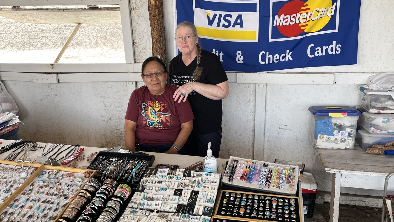
Filename: 0495_Buying_Souvenier
Date and Time: 2024:07:23 14:31:40
There are souvenir shops everywhere, not just in Monument Valley.
Tourism plays a big part in the local economy.
HC made a good friend after buying from her, a nice ring.
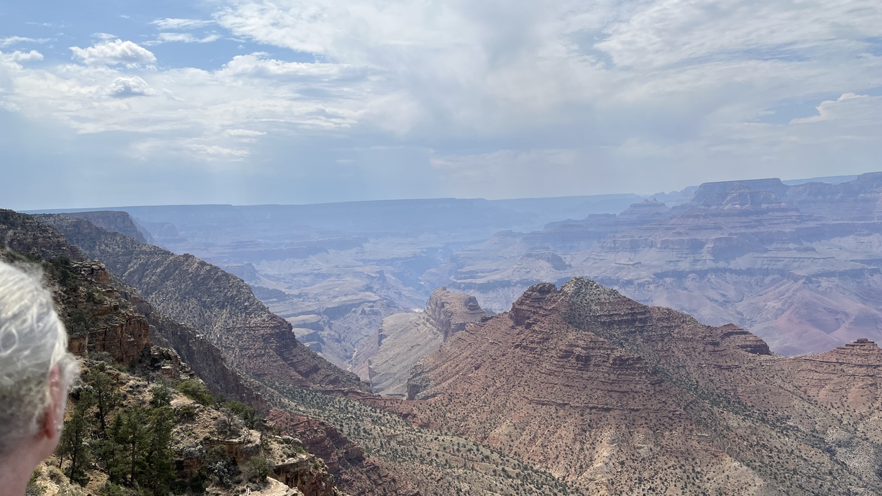
Filename: 0496A_First_View_West
Date and Time: 2024:07:23 15:33:50
Looking up the canyon.
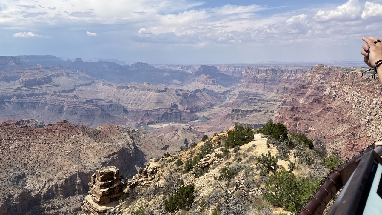
Filename: 0496_Grand_Canyon_First_View_East
Date and Time: 2024:07:23 15:33:58
Arriving at the Grand Canyon we entered the park along Desert View Drive. This is the first glipse we got of the canyon.
The Grand Canyon is a river valley in the Colorado Plateau that exposes uplifted Proterozoic and Paleozoic strata, and it is also one of the six distinct physiographic sections of the Colorado Plateau province. Even though it is not the deepest canyon in the world (Kali Gandaki Gorge in Nepal is much deeper), the Grand Canyon is known for its visually overwhelming size and its intricate and colorful landscape. Geologically, it is significant because of the thick sequence of ancient rocks that are well preserved and exposed in the walls of the canyon. These rock layers record much of the early geologic history of the North American continent.
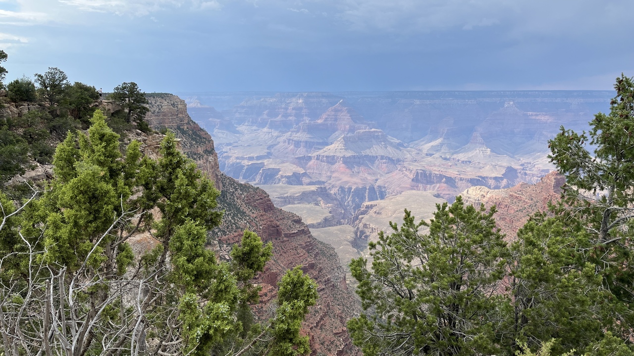
Filename: 0498A_Grand_Canyon_View_B
Date and Time: 2024:07:23 16:03:24
We are heading westwards along the canyon, stopping at view sites as we go.
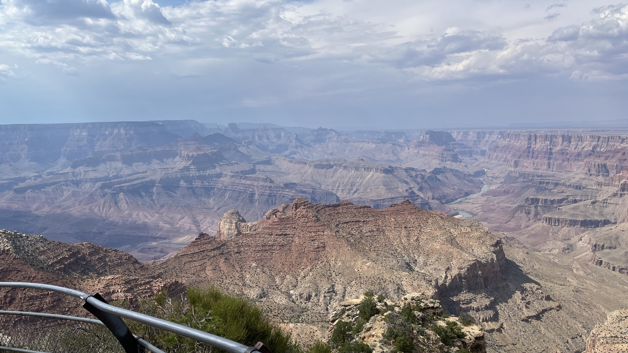
Filename: 0498BA_Grand_Canyon_View_D
Date and Time: 2024:07:23 15:24:49
The canyon provides plenty of opportunities to stand and stare in awe at its vastness.
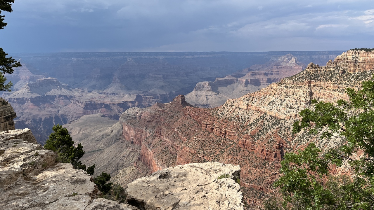
Filename: 0498B_Grand_Canyon_View_C
Date and Time: 2024:07:23 16:08:26
Another view of this amazing area.
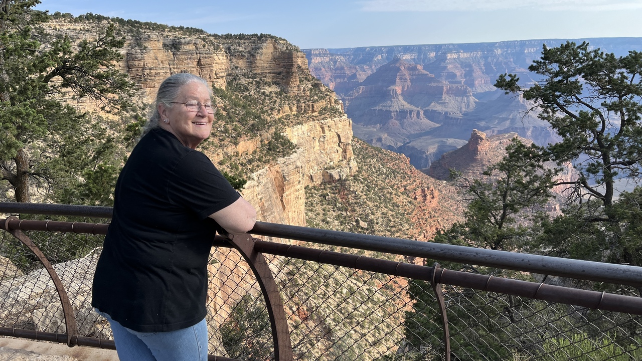
Filename: 0498C_Crow_At_The_Canyon
Date and Time: 2024:07:24 07:56:48
You never get tired of the scene before you.
Especially when it includes your favourite person!
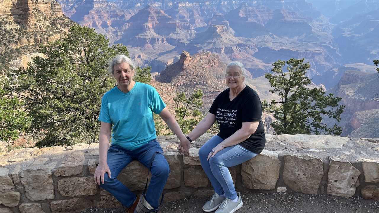
Filename: 0498D_Selfie_At_The_Canyon
Date and Time: 2024:07:24 08:06:32
Taking a rest and a getting co-operative fellow traveller to take a picture.
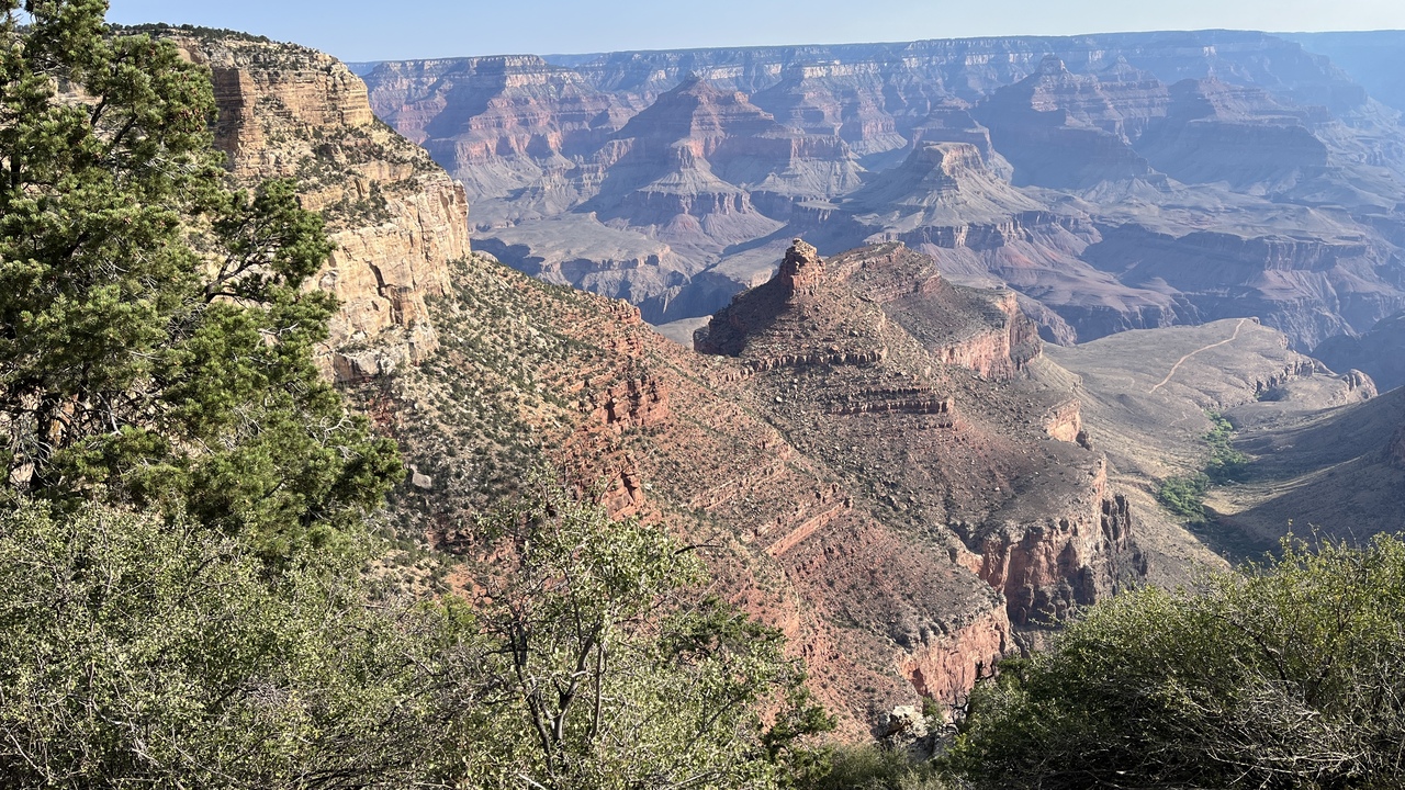
Filename: 0498EA_Canyon_View
Date and Time: 2024:07:24 08:11:38
Looking down into the canyon. It is a long way - we never took the walk!
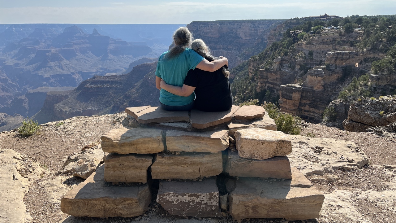
Filename: 0498F_Enjoying_The_View
Date and Time: 2024:07:24 08:47:55
We really had a superb view and we saw it together...
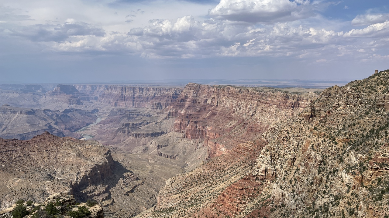
Filename: 0498_Grand_Canyon_View_A
Date and Time: 2024:07:23 15:24:46
There are many pictures to follow.
The view never becomes boring.
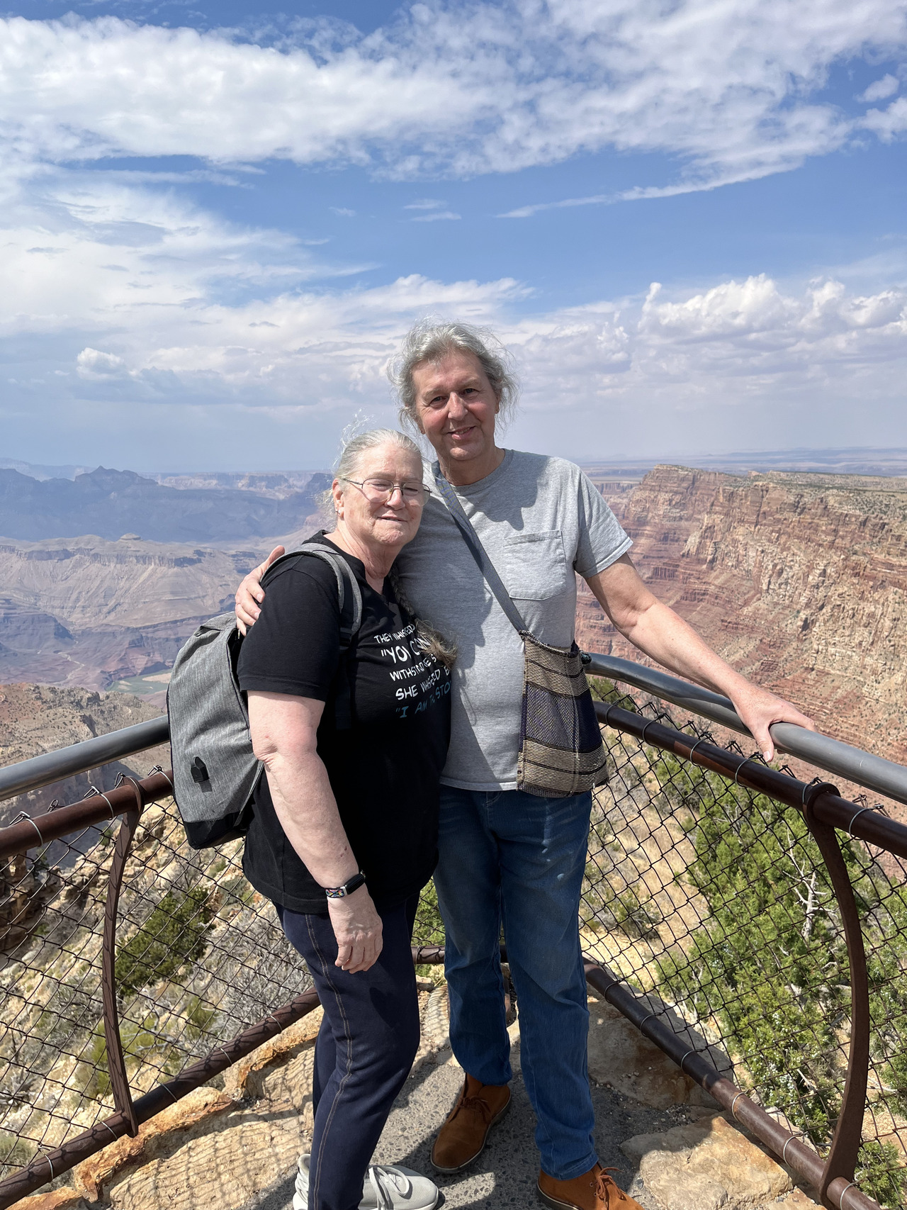
Filename: 0500_Selfie_G_Canyon_Desert_View_Road
Date and Time: 2024:07:23 14:37:31
This was like being on the prow of the Titanic - but much safer.
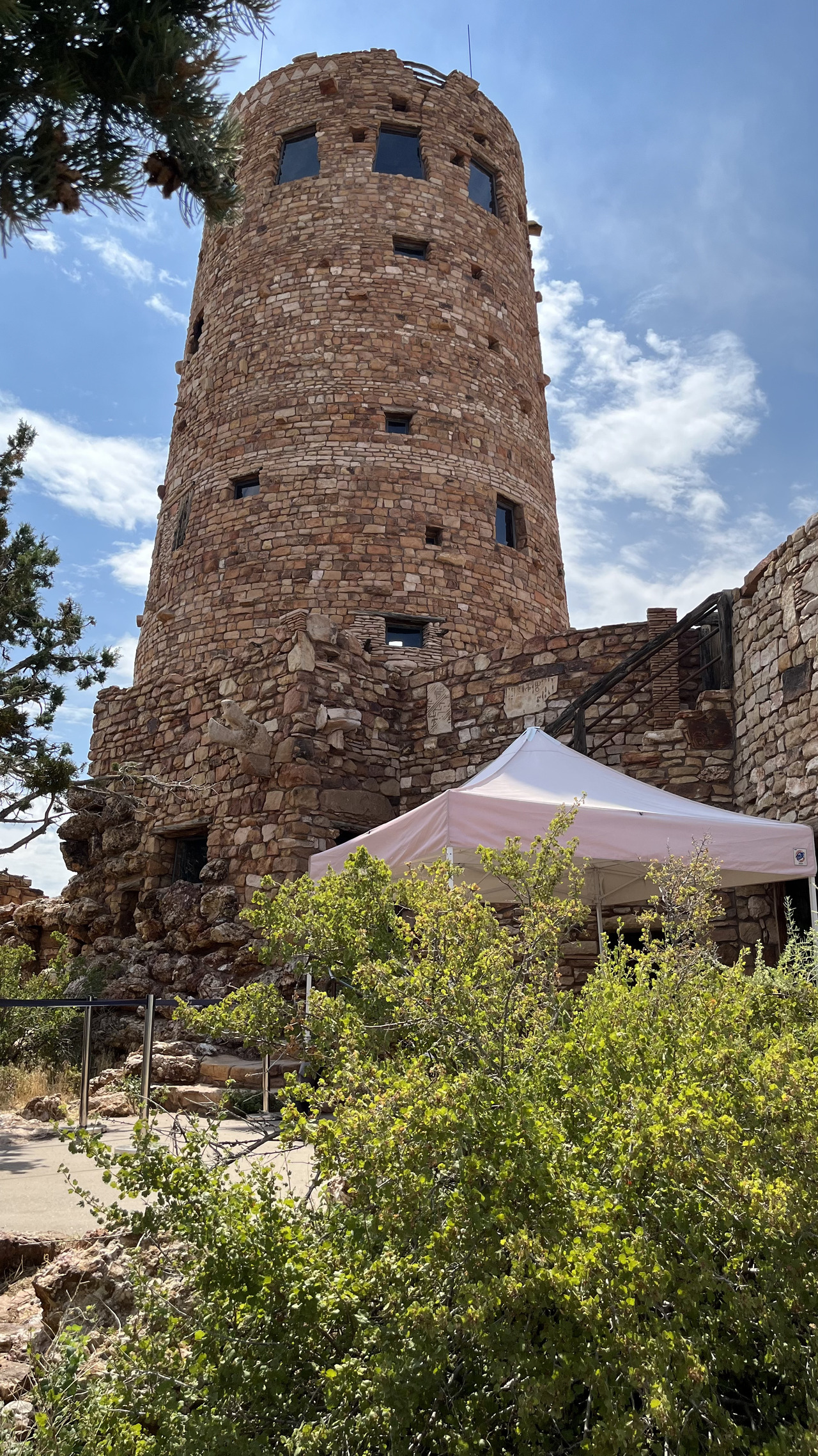
Filename: 0510_G_Canyon_A
Date and Time: 2024:07:23 14:40:34
The 'Tower' a view area wher we got.... Ice Creams (but not maple creemies).
Desert View Watchtower, also known as the Indian Watchtower at Desert View, is a 70-foot (21 m)-high stone building located on the South Rim of the Grand Canyon within Grand Canyon National Park in Arizona, United States. The tower is located at Desert View, more than 20 miles (32 km) to the east of the main developed area at Grand Canyon Village, toward the east entrance to the park.
The four-story structure, completed in 1932, was designed by American architect Mary Colter, an employee of the Fred Harvey Company who also created and designed many other buildings in the Grand Canyon vicinity including Hermit's Rest and the Lookout Studio. The interior contains murals by Fred Kabotie.
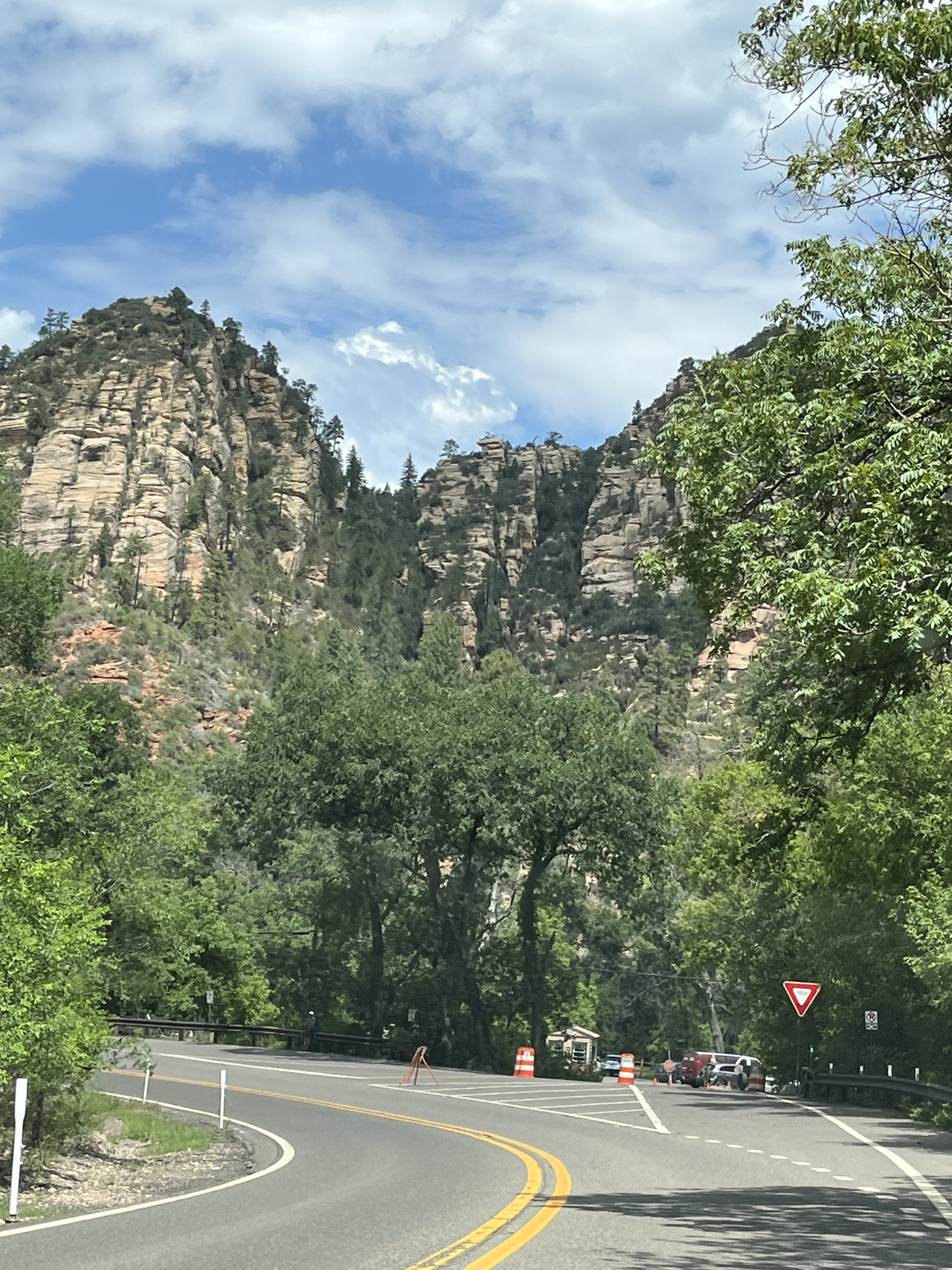
Filename: 0520_Entering_Sedona_A
Date and Time: 2024:07:25 11:05:05
The Grand Canyou is behind us and we are back on the road, about to enter into Sedona.
Sedona is an Arizona desert town near Flagstaff that’s surrounded by red-rock buttes, steep canyon walls and pine forests. It’s noted for its mild climate and vibrant arts community. Uptown Sedona is dense with New Age shops, spas and art galleries. On the town’s outskirts, numerous trailheads access Red Rock State Park.
Sedona's main attraction is its array of red sandstone formations. The formations appear to glow in brilliant orange and red when illuminated by the rising or setting sun. The red rocks form a popular backdrop for many activities, ranging from spiritual pursuits to the hundreds of hiking and mountain biking trails.
Sedona was named after Sedona Schnebly whose husband, Theodore Carlton Schnebly, was the city's first postmaster. She was celebrated for her hospitality and industriousness. Her mother, Amanda Miller, claimed to have made the name up because "it sounded pretty".
Filename: 0530_Entering_Sedona_B
Date and Time: 2024:07:25 11:10:20
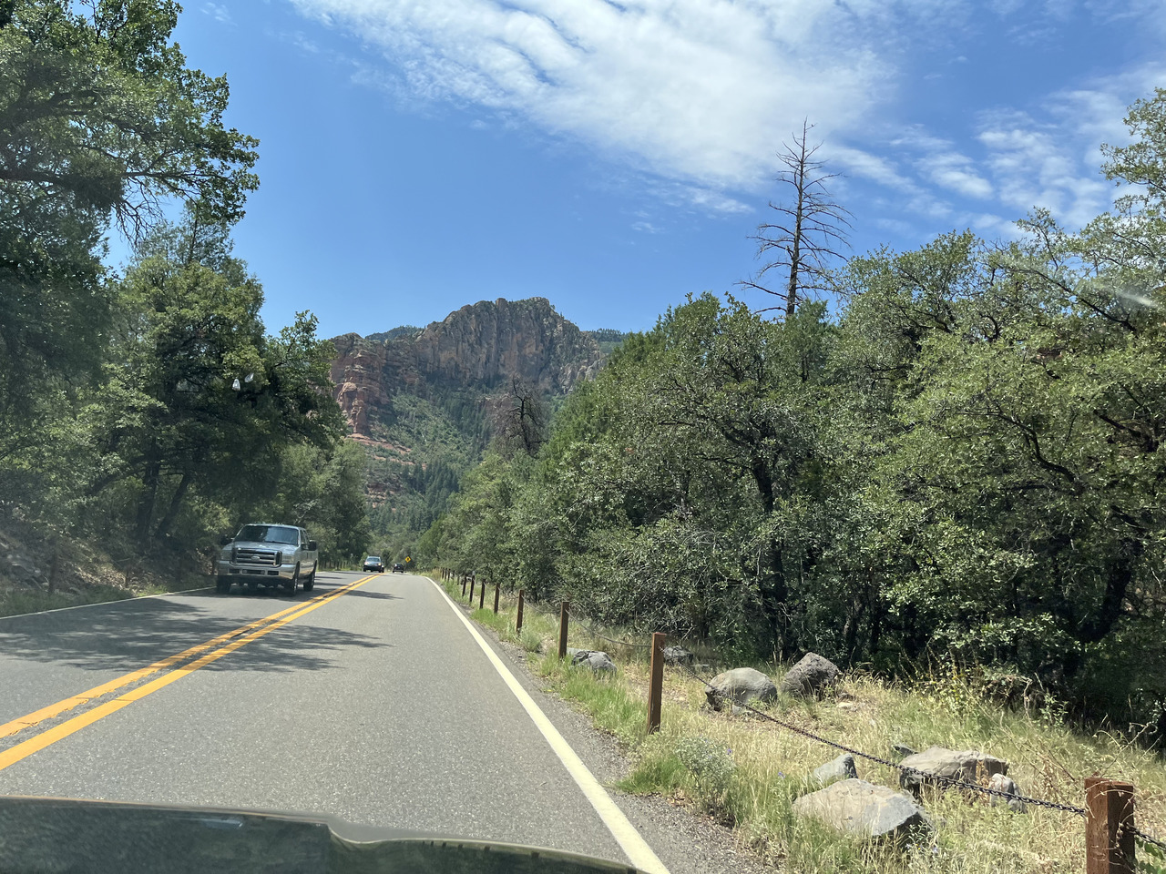
There is much more vegetation in this area.
Filename: 0540_Mekenok_In_Sedona
Date and Time: 2024:07:25 11:20:28
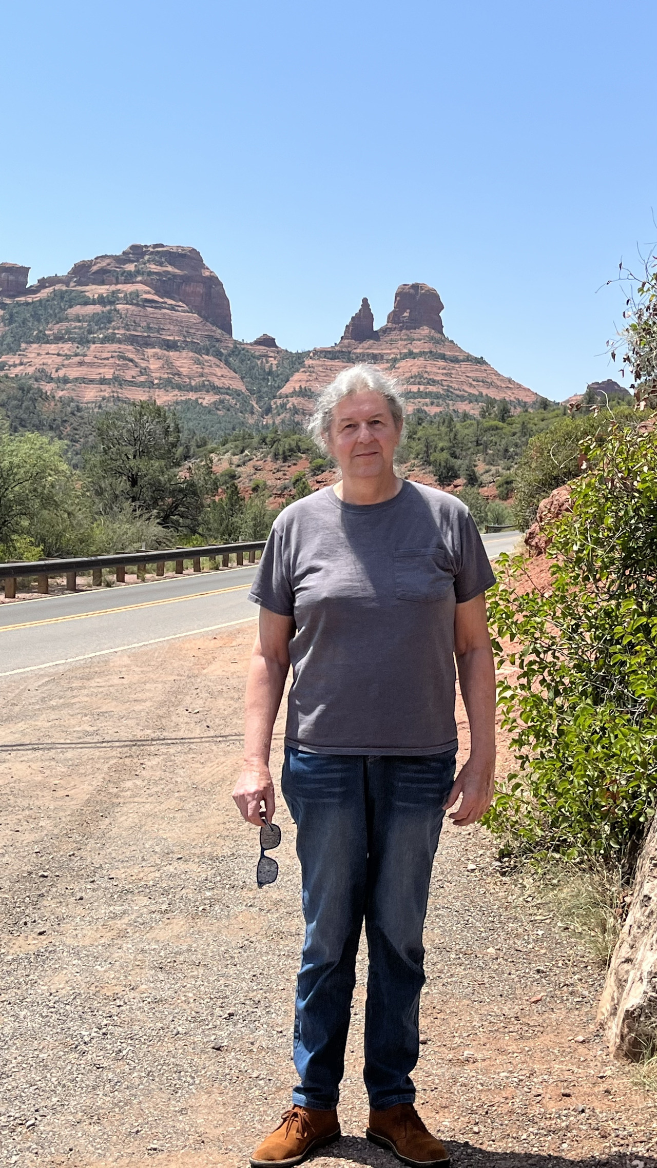
This is still Sedona, but back into red-rock land.
Filename: 0560_Rain_Shower_On_The_Mountains
Date and Time: 2024:07:25 12:58:00
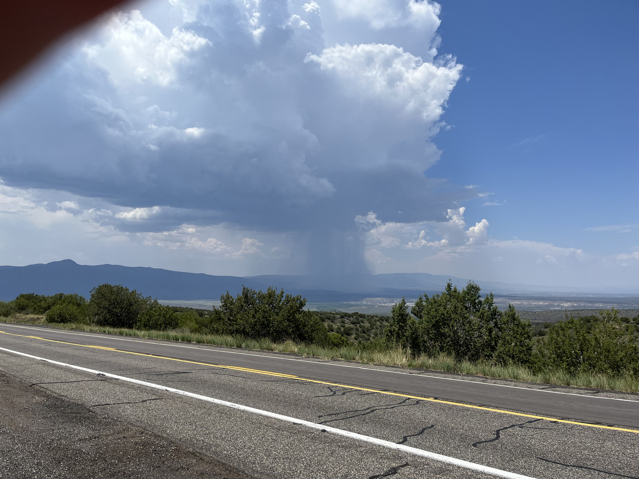
On the back roads to Phoenix - a storm brewing.

Filename: 0570_Saguaro_Country_A
Date and Time: 2024:07:25 14:37:14
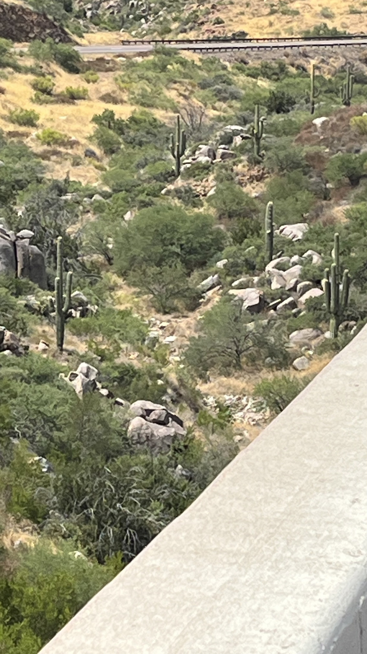
Saguaro cactii. HC noticed one lone plant as we descended into the valley. Then just aver a rise, there were thousands of them!
The saguaro Carnegiea gigantea) is a tree-like cactus species in the monotypic genus Carnegiea that can grow to be over 12 meters (40 feet) tall. It is native to the Sonoran Desert in Arizona, the Mexican state of Sonora, and the Whipple Mountains and Imperial County areas of California. The saguaro blossom is the state wildflower of Arizona. Its scientific name is given in honor of Andrew Carnegie. In 1933, Saguaro National Park, near Tucson, Arizona, was designated to help protect this species and its habitat.
Saguaros have a relatively long lifespan, often exceeding 150 years. They may grow their first side arm around 75–100 years of age, but some never grow any arms. Arms are developed to increase the plant's reproductive capacity, as more apices lead to more flowers and fruit. A saguaro can absorb and store considerable amounts of rainwater, visibly expanding in the process, while slowly using the stored water as needed. This characteristic enables the saguaro to survive during periods of drought. It is a keystone species, and provides food and habitat to a large number of species.
Saguaros have been a source of food and shelter for humans for thousands of years. Their sweet red fleshed fruits are turned into syrup by native peoples, such as the Tohono Oʼodham and Pima. Their ribs are used as building materials in the wood-poor deserts. The saguaro cactus is a common image in Mexican and Arizonan culture, and American Southwest films.
Filename: 0580_Saguaro_Country_B
Date and Time: 2024:07:25 14:38:16
Cactus plants everywhere....
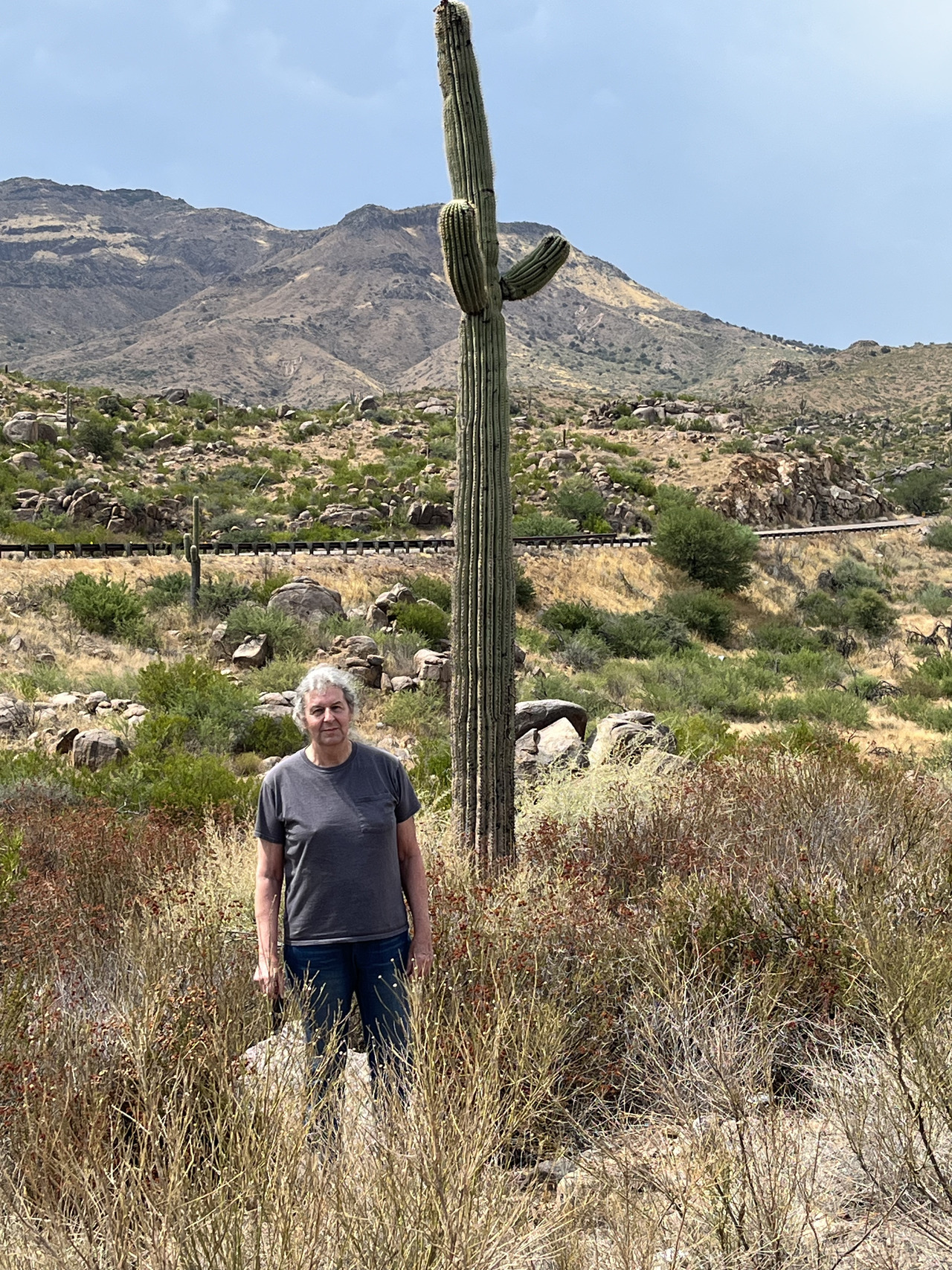
Filename: 0590_Mekenok_With_Saguaro_A
Date and Time: 2024:07:25 14:41:31
They only seem to grow at a certain altitude. We dispaired of seeing them until, suddenly, they were everywhere.
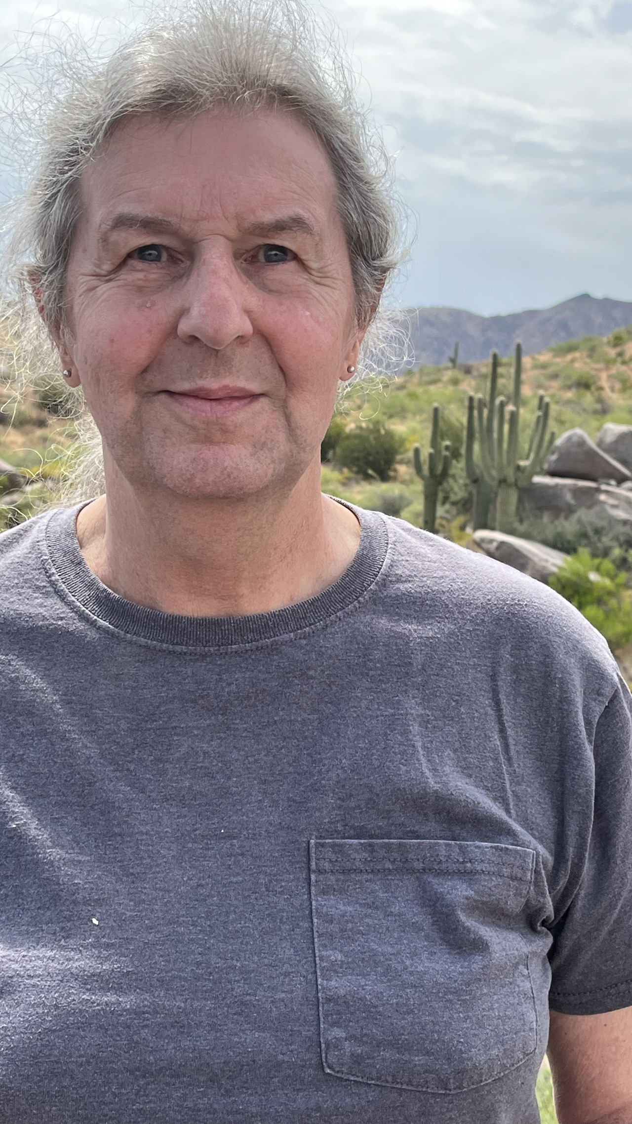
Filename: 0600_Mekenok_With_Saguaro_B
Date and Time: 2024:07:25 14:37:36
First time ever seeing the saguaros.
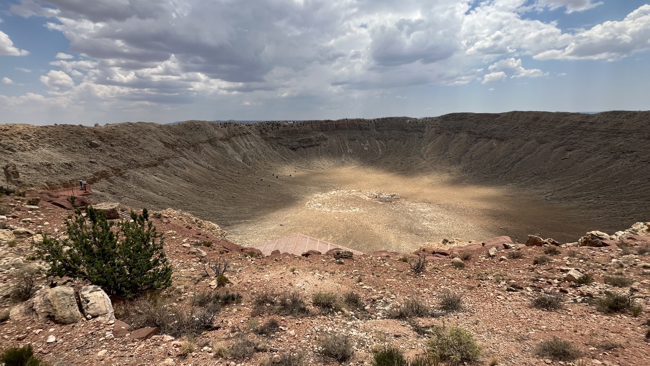
Filename: 0610_Meteor_Crater_A
Date and Time: 2024:07:24 13:03:51
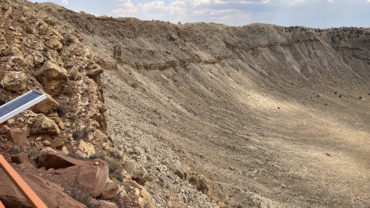
Meteor Crater, or Barringer Crater, is an impact crater about 37 miles (60 km) east of Flagstaff and 18 miles (29 km) west of Winslow in the desert of northern Arizona. The site had several earlier names, and fragments of the meteorite are officially called the Canyon Diablo Meteorite, after the adjacent Canyon Diablo.
Meteor Crater lies at an elevation of 5,640 ft (1,719 m) above sea level. It is about 3,900 ft (1,200 m) in diameter, some 560 ft (170 m) deep, and is surrounded by a rim that rises 148 ft (45 m) above the surrounding plains. The center of the crater is filled with 690–790 ft (210–240 m) of rubble lying above crater bedrock. One of the features of the crater is its squared-off outline, believed to be caused by existing regional jointing (cracks) in the strata at the impact site.
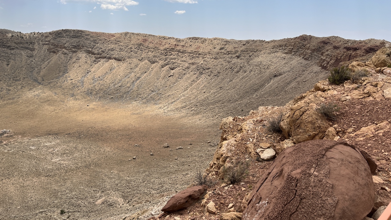
Filename: 0630_Meteor_Crater_B
Date and Time: 2024:07:24 13:09:05
The crater wall on the southern side.
Filename: 0635_Meteor_Crater_C
Date and Time: 2024:07:24 13:08:58
The crater wall on the northern side.
The walls are very steep and you would need ropes or help to get into the crater proper.

Filename: 0650_Clydes_Telescope_Explainer
Date and Time: 2024:07:24 18:29:16
All about the telescope.
Filename: 0660_Adtrograph_Used_by_Clyde
Date and Time: 2024:07:24 19:07:29
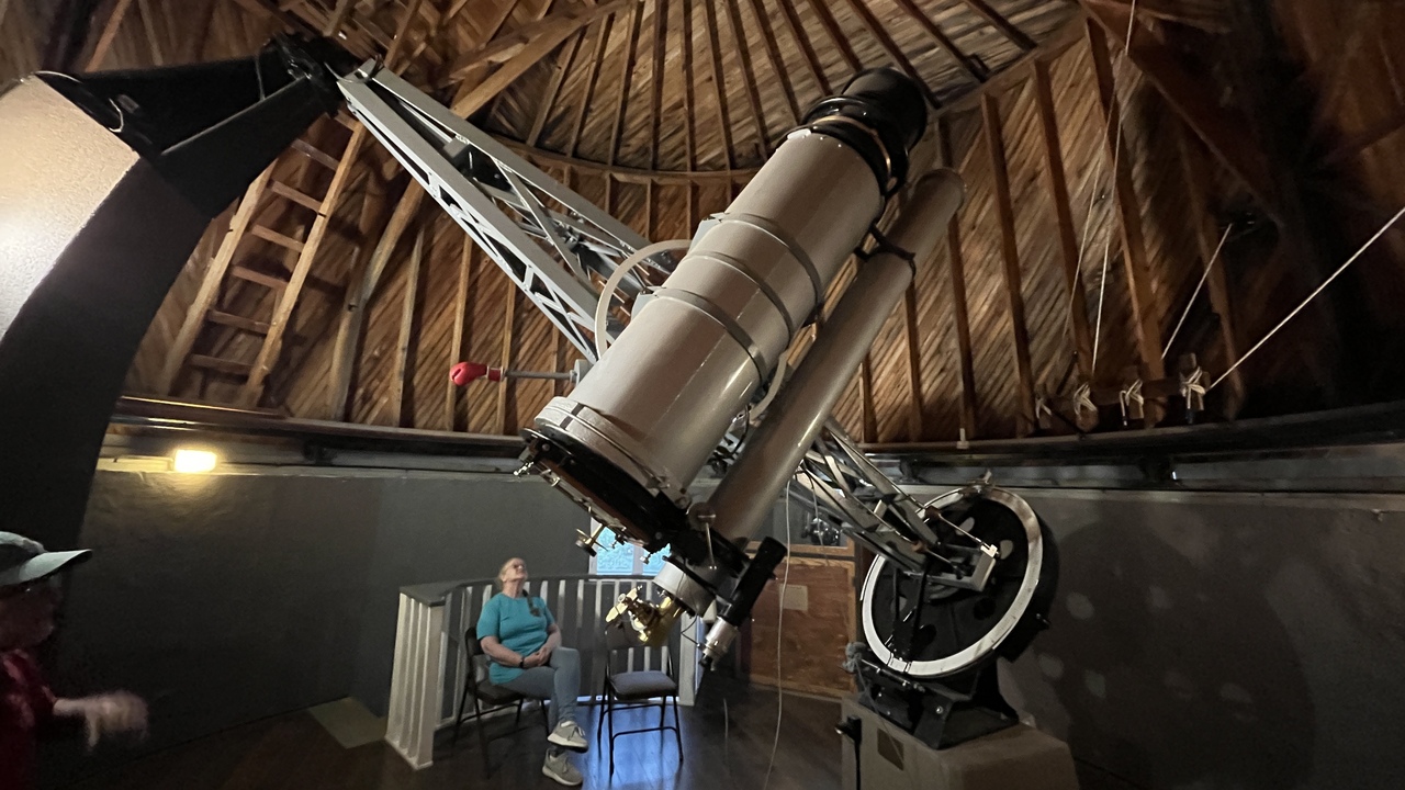
This is the astrograph Clyde used in his discovery of Pluto.
Filename: 0665_Lowell_Clark_Observatory
Date and Time: 2024:07:24 19:28:53
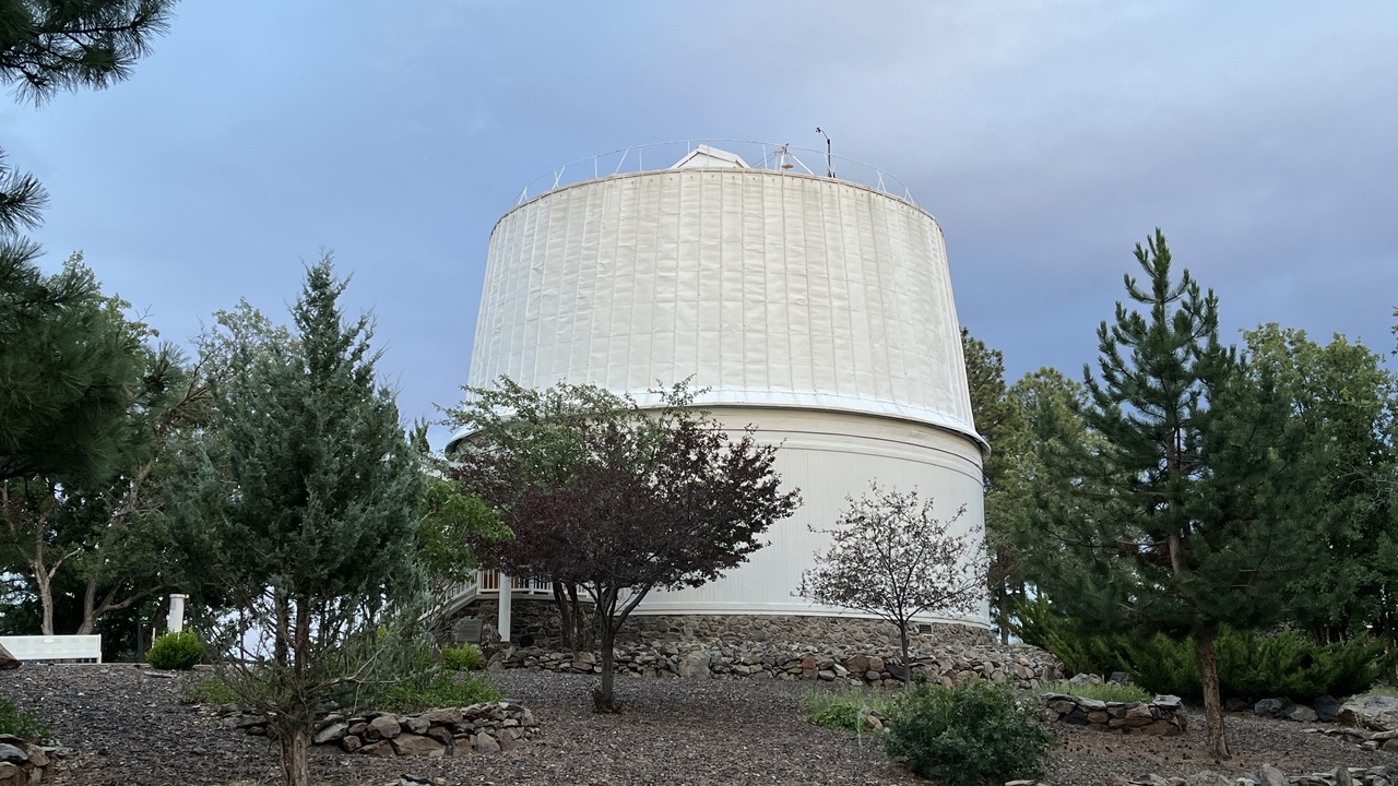
Lowell Observatory is an astronomical observatory in Flagstaff, Arizona, and was established in 1894, placing it among the oldest observatories in the United States, and was designated a National Historic Landmark in 1965. In 2011, the Observatory was named one of "The World's 100 Most Important Places" by Time Magazine. It was at the Lowell Observatory that the dwarf planet Pluto was discovered in 1930 by Clyde Tombaugh.
This dome houses the Clark Telescope.
See next picture...
Filename: 0670_Lowell_Clark_Telescope
Date and Time: 2024:07:24 19:22:06
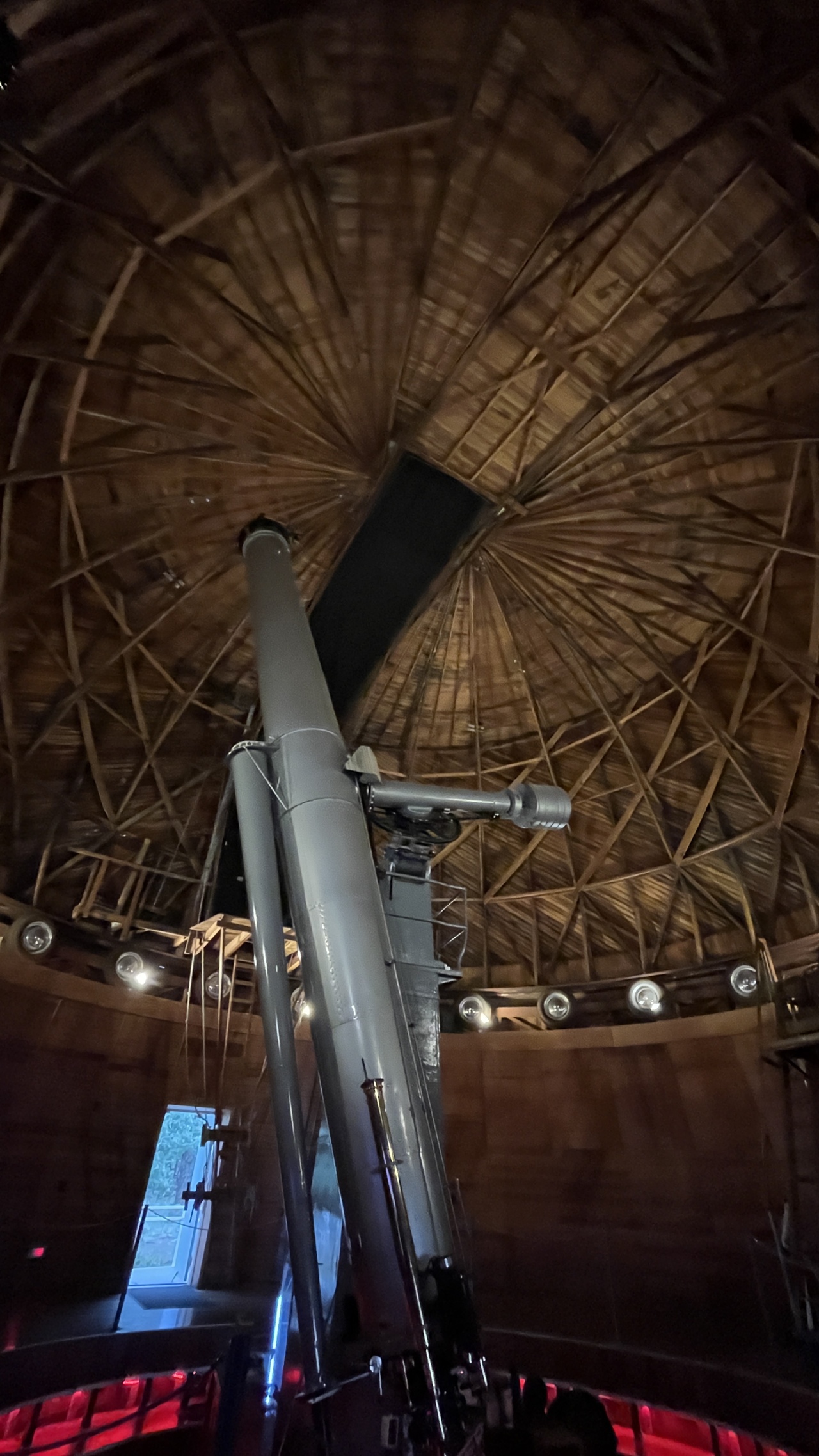
Here is the Clarke telescope itself..,